East Bay Farm Country Turned Suburb
Welcome to Brentwood, a fast-growing Contra Costa County city in the East Bay whose cherry orchards and U-pick farms give way to master-planned neighborhoods beneath Mount Diablo.
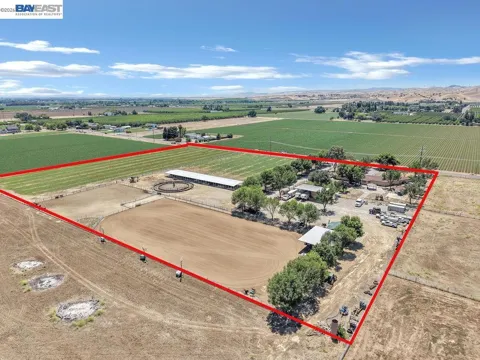
Brentwood is a city in the far eastern reaches of Contra Costa County, California, positioned in the East Bay where the Bay Area's suburban edge meets the San Joaquin–Sacramento River Delta. Mount Diablo rises to the west, and the Central Valley opens to the east. For most of its history, Brentwood was a small agricultural community, settled in the late 1800s on fertile, irrigated land and built around orchards and row crops. Even as the city has suburbanized, it has kept a strong identity as the Bay Area's farm basket, celebrated for its cherries, sweet corn, and peaches. That agricultural legacy now coexists with one of the fastest periods of residential growth in the region. Brentwood's population climbed from roughly 23,000 in 2000 to about 67,000 by the early 2020s, transforming open farmland into a series of master-planned communities. Newer neighborhoods with greenbelts, trails, and parks now ring an older downtown that retains its small-town character. The city's growth has been shaped by its location at the edge of the Bay Area's commute shed. Without a BART station, Brentwood relies on State Route 4 and Vasco Road for access to Livermore, the Tri-Valley, and, ultimately, job centers in Oakland, San Francisco, and Silicon Valley. As a result, Brentwood functions as a more affordable, family-oriented alternative for people willing to trade commute time for newer housing, larger homes, and a slower, outdoors-and-agriculture-flavored pace of life. The mix of orchards, subdivisions, and open Delta landscape gives the city a character distinct from the denser inner East Bay.
Brentwood is in Contra Costa County, California, in the East Bay region of the San Francisco Bay Area. It sits in the far eastern part of the county, near the San Joaquin–Sacramento River Delta and the foothills of Mount Diablo.
Brentwood is a long commute from major Bay Area job centers. Drivers reach San Francisco, Oakland, and Silicon Valley via State Route 4, Vasco Road, and Interstate 580, but there is no BART station in the city, so most residents commute by car or bus.
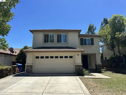
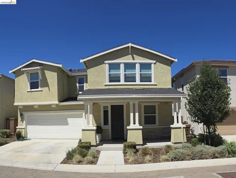
Brentwood's schools are split between two districts. The Brentwood Union School District serves elementary and middle grades, while the Liberty Union High School District covers grades 9 through 12 across five high schools, including Liberty, Freedom, and Heritage.
Brentwood is known for its agricultural heritage, especially cherries, sweet corn, and peaches. Seasonal U-pick farms draw visitors from across the Bay Area, and the city celebrates that heritage with events such as the summertime CornFest and a cherry festival.
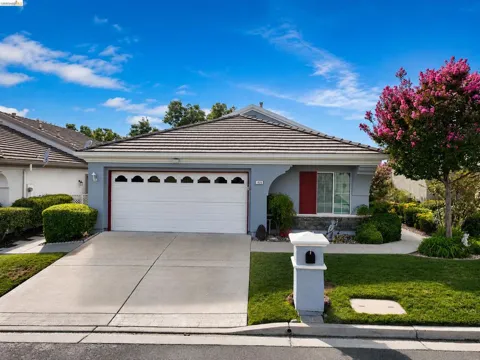
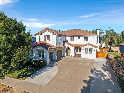
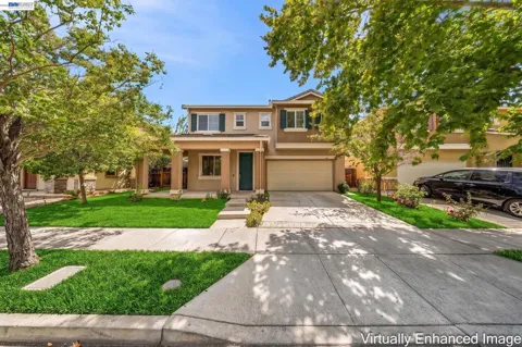
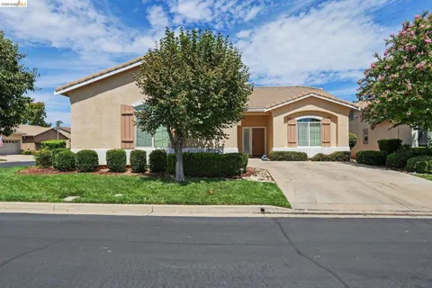
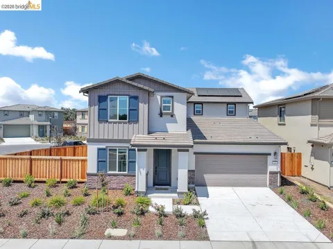
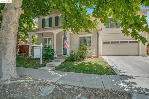
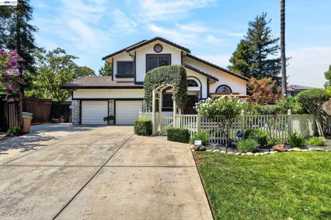
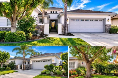
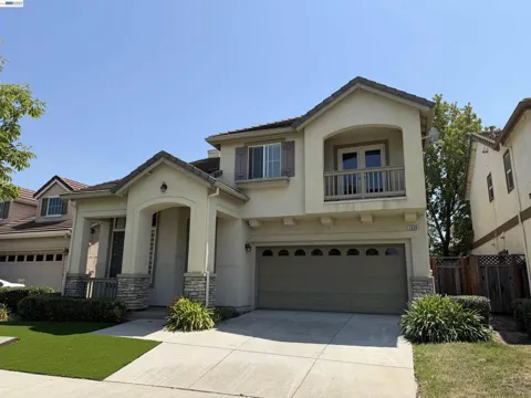
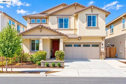
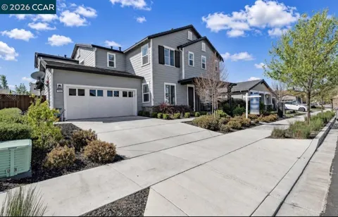
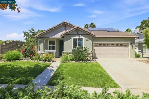
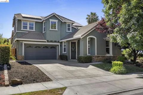
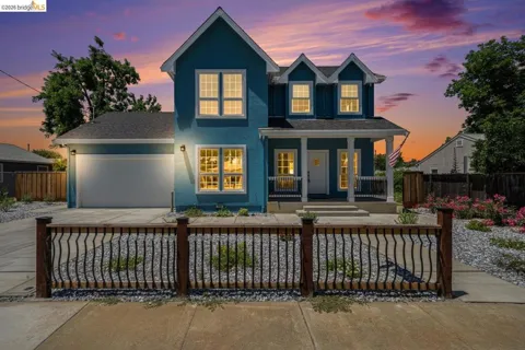
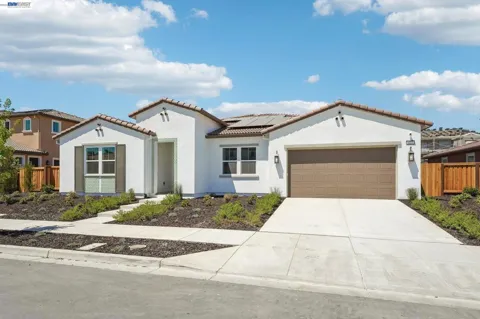
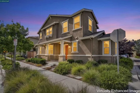
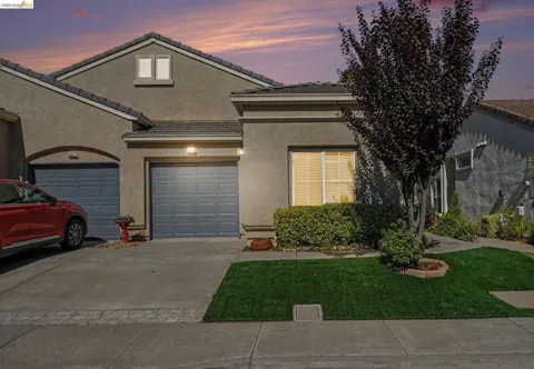
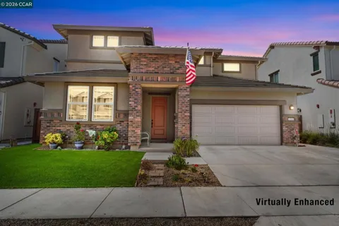
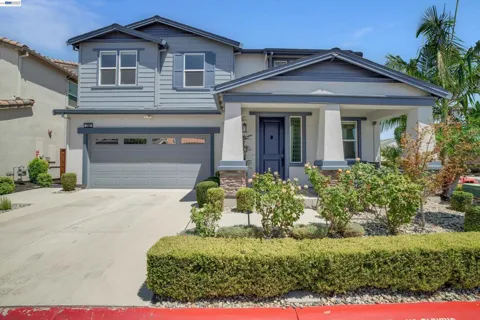
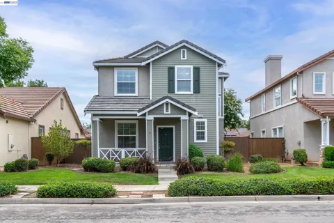
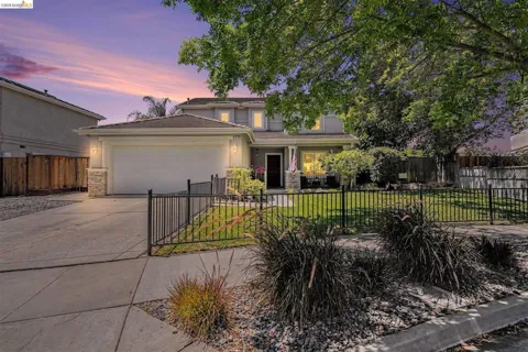
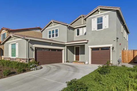
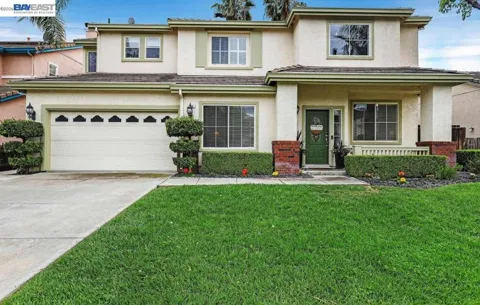
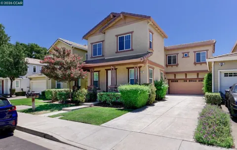
Brentwood's newer neighborhoods are largely HOA-guided master-planned communities with greenbelts, trails, pocket parks, and modern energy-efficient homes, while older sections near downtown offer established landscaping and larger lots. Garin Ranch is one of the notable newer master-planned communities.
City Guide
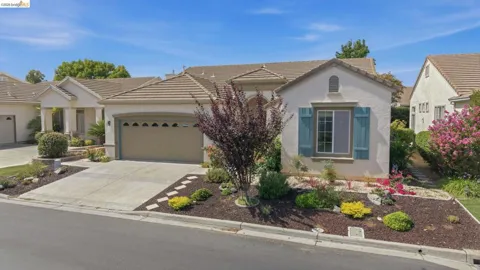
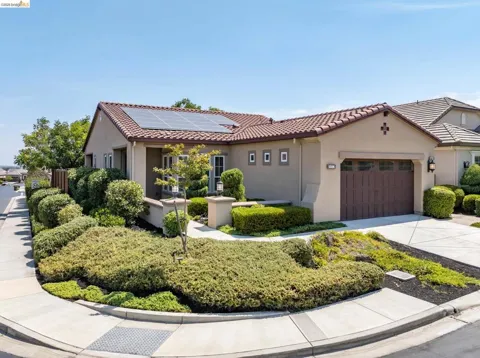
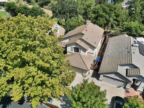
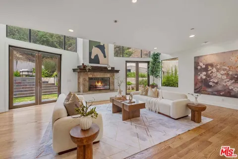
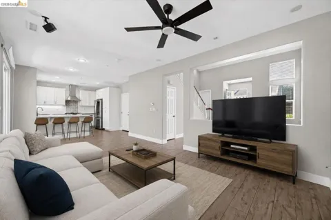
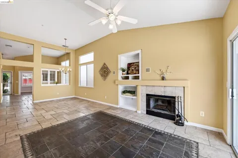
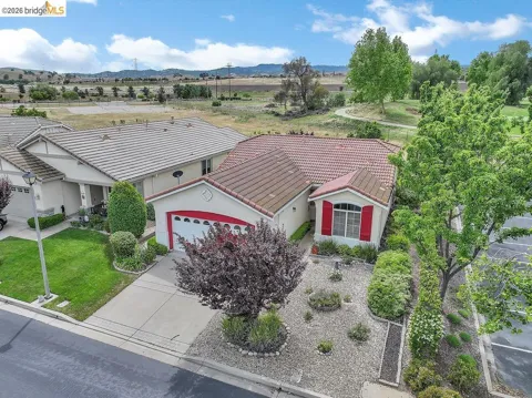
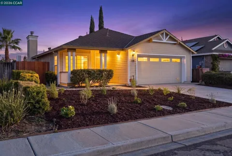
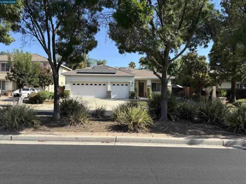
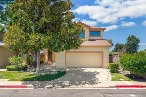
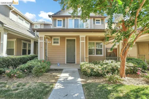
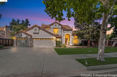
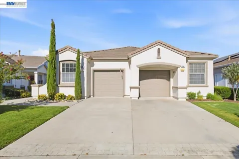
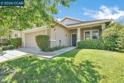
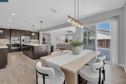
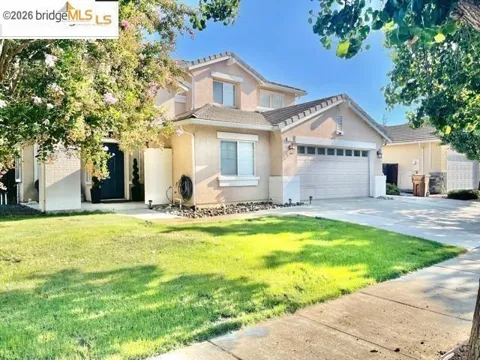
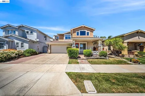
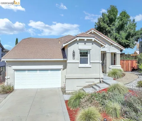
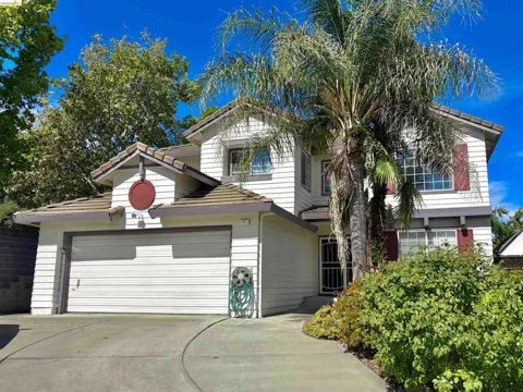
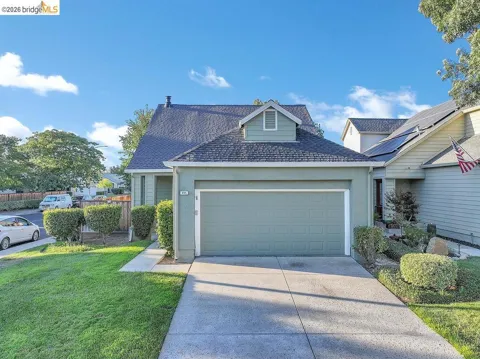
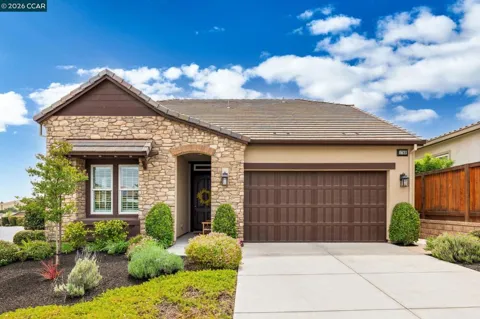
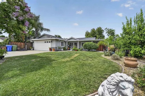
Brentwood's housing stock reflects its recent boom. Newer subdivisions are predominantly HOA-guided master-planned communities with greenbelts, pocket parks, trails, and contemporary energy-efficient homes on moderately sized lots. These developments dominate the city's growth ring and attract families looking for newer construction. Closer to the historic core, older neighborhoods offer established landscaping, larger lots, and a mix of classic architectural styles from earlier decades. Active-adult communities such as Trilogy at the Vineyards add a 55-plus option with resort-style amenities. Overall, the market is characterized by single-family homes, planned amenities, and a spread-out suburban pattern rather than dense urban infill.
Brentwood's neighborhoods generally divide between the established central area and the newer master-planned communities radiating outward. Garin Ranch, one of the city's signature newer developments, sits close to downtown with parks, trails, retail, and a neighborhood school. Trilogy at the Vineyards anchors the active-adult segment with its golf and clubhouse lifestyle. Around these, a series of HOA-guided subdivisions with greenbelts and pocket parks house much of the population. The historic downtown and its older surrounding streets preserve the city's farm-town origins, offering larger lots and a more traditional feel than the newer construction further out.
Brentwood's lifestyle is built around its agricultural calendar. Cherry season brings U-pick crowds to local orchards, summer ushers in the CornFest with live music and sweet corn, and a farmers market and seasonal events keep the farm-town identity alive throughout the year. The older downtown offers small shops and restaurants, while newer commercial centers serve the master-planned neighborhoods. Because the city sits at the edge of the Bay Area, daily life often involves a longer drive to work in exchange for newer, more spacious housing and room to spread out — a trade-off many East Bay families accept. The proximity of the Delta and Mount Diablo also makes weekend outdoor recreation an easy part of life.
Brentwood's public schools are organized across two districts. The Brentwood Union School District serves elementary and middle school students, while the Liberty Union High School District covers grades 9 through 12 for Brentwood and parts of Oakley, Antioch, and nearby communities. The high school district operates five campuses — Liberty, Freedom, Heritage, Independence, and La Paloma — giving families multiple pathways within the same system. The presence of neighborhood schools within the newer master-planned communities is a notable feature for families. For post-secondary options, Los Medanos College in nearby Pittsburg and the wider East Bay's community college and university network are within commuting distance.
Transportation is Brentwood's defining challenge. State Route 4 runs along the city's northern edge, and Vasco Road crosses the Diablo Range to connect with Interstate 580 at Livermore, forming the two main commuter arteries. There is no BART station in Brentwood, so most commuters drive — often long distances — to reach San Francisco, Oakland, or Silicon Valley, a dynamic that has made the city a trade-off between affordability and commute time. Tri Delta Transit provides local and regional bus service, including connections to BART and the eBART rail line in Antioch. By car, the Delta and Central Valley are also within reach, positioning Brentwood as a gateway between the Bay Area and inland California.
Brentwood's parks and recreation system is extensive, with roughly 242 developed acres of parks, nearly 100 park facilities, 19 miles of local and regional trails, and more than 60 miles of on-street bike lanes. Mount Diablo State Park lies a short drive to the west, offering hiking, cycling, and sweeping views from the summit. The Sacramento–San Joaquin Delta borders the area to the north and east, providing boating, fishing, and water access. On top of the city's own facilities, the seasonal U-pick farms and community festivals add a distinctly local form of recreation, giving residents outdoor activities that range from trail running to orchard picking within a single weekend.
MARKET SNAPSHOT
How homes have been selling here over the last 90 days.
Market data reflects closed sales over the last 90 days and is provided for informational purposes.
BROWSE BY ZIP
Browse listings by postal code in this area.