High Desert Hub on Route 66
About Victorville, CA
Welcome to Victorville, a High Desert city in San Bernardino County where historic Route 66 threads through Old Town.
Victorville anchors the Victor Valley, a broad stretch of the Mojave Desert in San Bernardino County's High Desert region, roughly 85 miles northeast of downtown Los Angeles. Once a stop on the Santa Fe Railway and later a junction on Route 66, the city grew from a small desert settlement into one of the High Desert's principal employment and retail centers, with about 135,000 residents. The city's modern form was shaped by two forces: the cement industry that drew early workers, and the establishment of George Army Airfield (now Southern California Logistics Airport) during World War II, which triggered large-scale housing construction and thousands of ranch-style homes. That military and logistics legacy persists at the airport's freight and aviation facilities, which remain a regional economic anchor. Route 66 still threads through Old Town, where an Amtrak station and historic commercial blocks evoke the highway's heyday. Today Victorville functions as the commercial core of the Victor Valley, serving nearby Apple Valley, Hesperia, and Adelanto with retail, healthcare, and government services. Its desert climate brings hot summers, mild winters, and wide open skies, while its location along Interstate 15 connects the High Desert to the San Bernardino Valley and the wider Inland Empire. The Cajon Pass corridor makes the route toward the coast a daily reality for many commuters. The Mojave Narrows Regional Park and the Mojave River provide green space and recreation along the valley floor, and the San Bernardino Mountains rise to the south. The city appeals to commuters seeking more affordable single-family housing, families tied to the area's schools and hospital systems, and residents drawn to open desert landscapes and a central position within the High Desert. Its mix of military-era neighborhoods, newer subdivisions, and commercial corridors gives Victorville a distinctly utilitarian, high-desert character distinct from the mountain and coastal communities to the south and west.
Frequently Asked Questions
What county is Victorville in?
Victorville is in San Bernardino County, California, in the county's High Desert region. It is the largest city in the Victor Valley, a subregion that also includes Apple Valley, Hesperia, and Adelanto, and lies roughly 85 miles northeast of downtown Los Angeles along Interstate 15.
What school districts serve Victorville?
Victorville is served by the Victor Elementary School District for grades K-6 and the Victor Valley Union High School District for grades 7-12. Some portions of the city fall within the Adelanto Elementary School District, and Victor Valley College provides higher education for the wider High Desert.
Does Route 66 run through Victorville?
Yes. Historic U.S. Route 66 was aligned through Victorville in 1926 and still runs through the city's Old Town, where visitors can follow the original highway alignment and see its restored commercial corridor and Amtrak station.
How far is Victorville from Los Angeles?
Victorville sits roughly 85 miles northeast of downtown Los Angeles, reached primarily via Interstate 15 through the Cajon Pass. The drive typically takes about an hour and a half, though Cajon Pass traffic can extend travel times.
City Guide
About Victorville
Real Estate & Housing
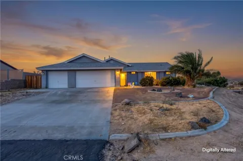
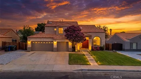
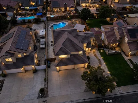
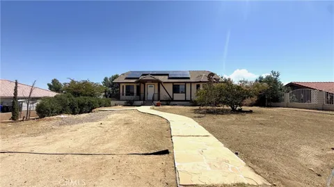
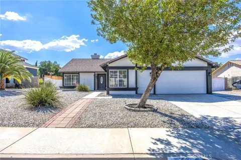
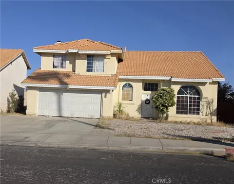
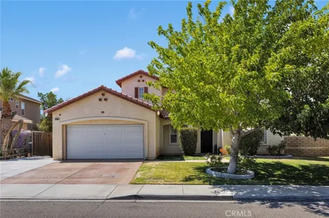
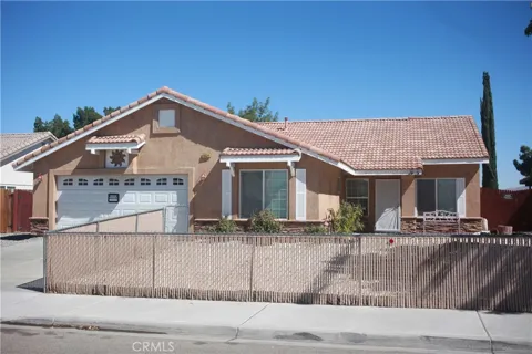
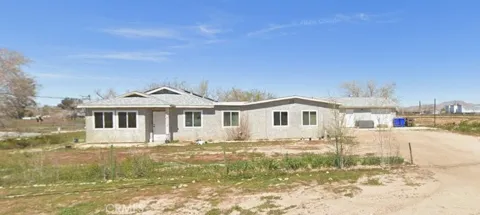
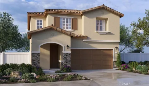
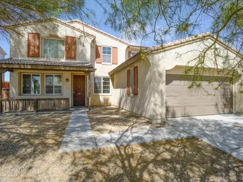
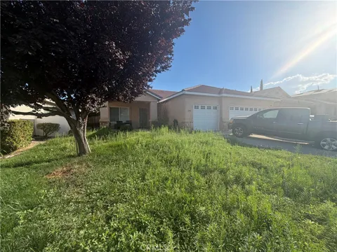
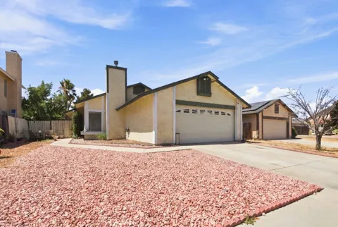
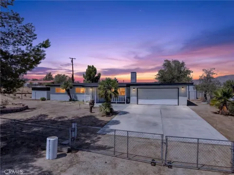
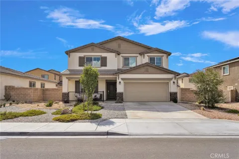
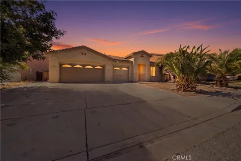
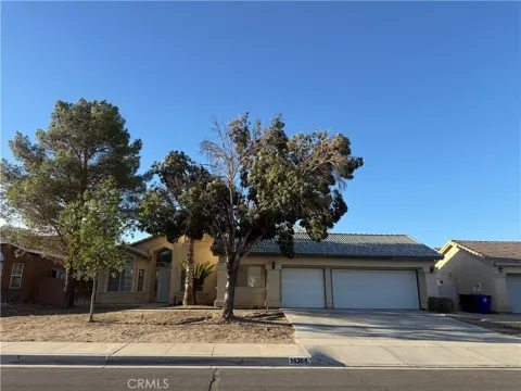
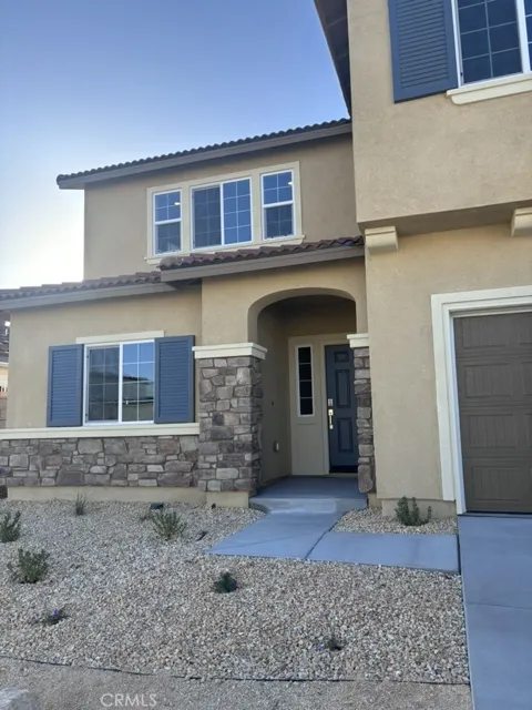
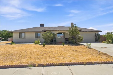
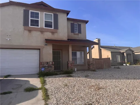
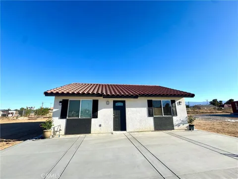
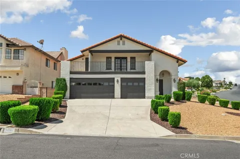
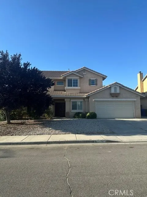
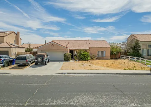
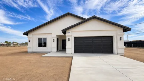
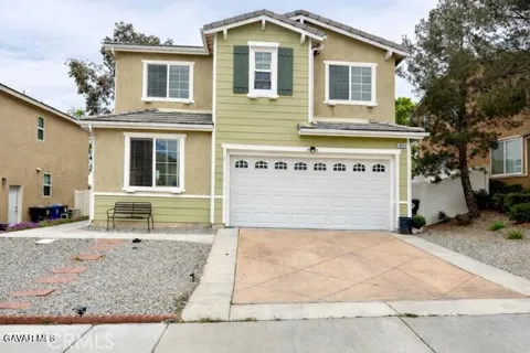
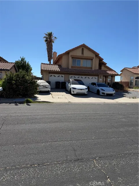
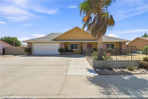
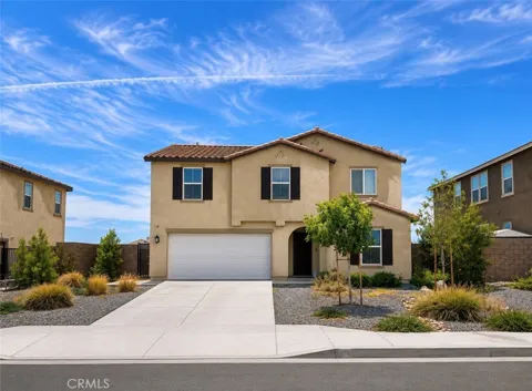
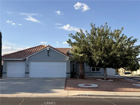
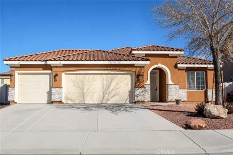
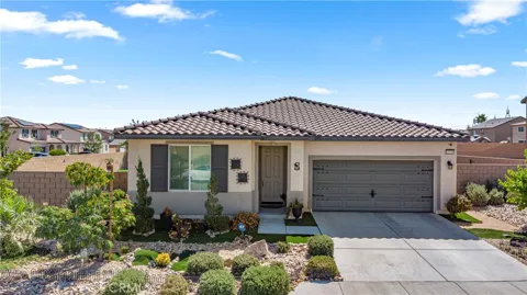
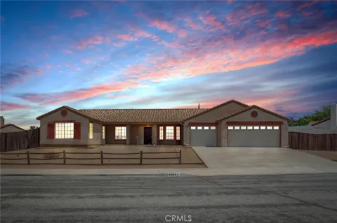
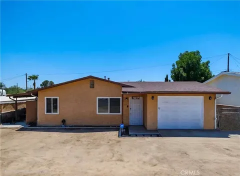
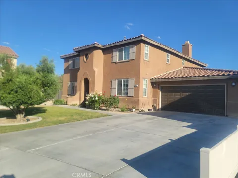
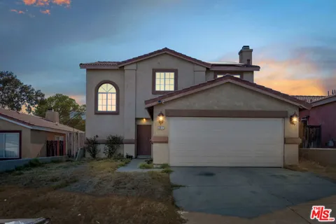
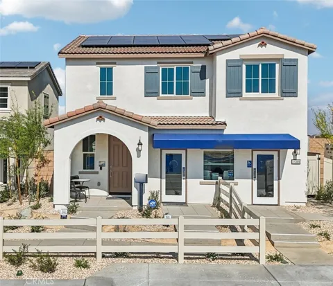
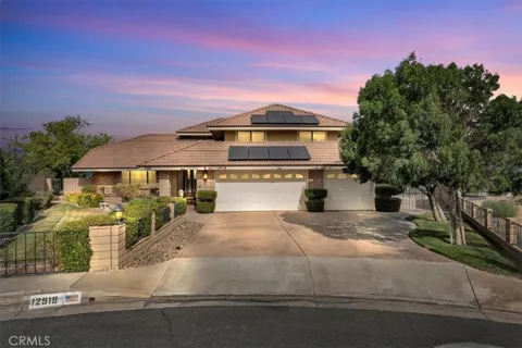
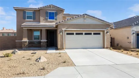
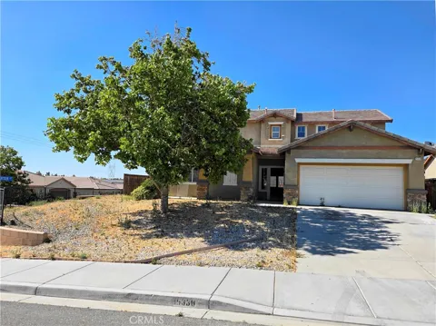
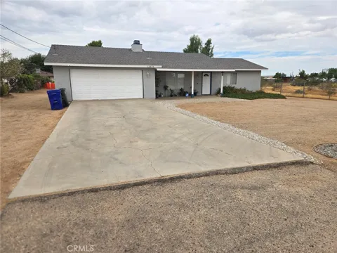
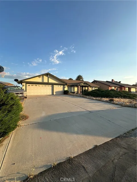
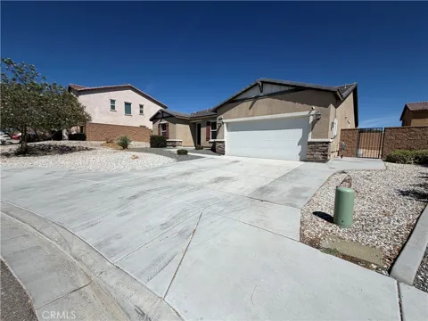
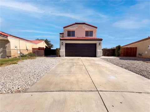
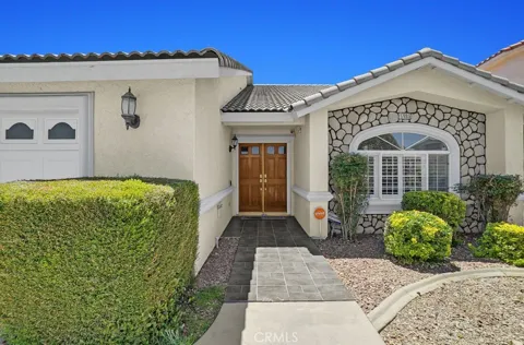
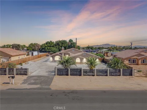
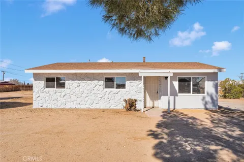
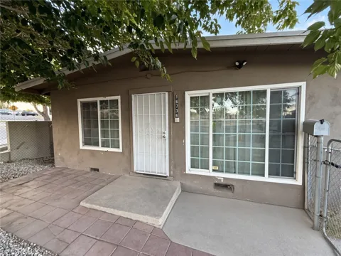
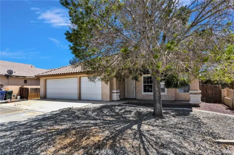
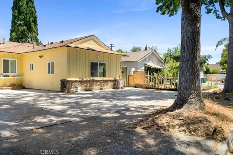
Victorville's housing stock skews heavily toward single-family ranch-style homes built during and after the World War II boom at George Army Airfield, with later subdivisions adding contemporary tract homes on generous desert lots. Older blocks near Old Town and along Route 66 contain smaller mid-century cottages and bungalows. The city is known for comparatively affordable single-family housing within the Inland Empire, attracting families and first-time buyers, while master-planned communities and newer developments continue to push outward across the valley floor. Multi-family and apartment construction has grown near retail corridors.
Neighborhoods
Victorville's neighborhoods span its desert grid, from the historic blocks around Old Town and the Route 66 corridor to newer subdivisions across the valley. Areas near the Southern California Logistics Airport and along Bear Valley and Hesperia roads mix established ranch-style homes with retail and services. Master-planned communities on the city's edges offer newer construction, parks, and schools, while Spring Valley Lake to the east is a lake-oriented community with its own amenity district. Adjacent Apple Valley and Hesperia share the valley's suburban fabric, making Victorville the hub for the wider High Desert.
Lifestyle in Victorville
Life in Victorville centers on the High Desert's open landscapes and its role as the Victor Valley's commercial heart. Residents shop along the Bear Valley Road and Roy Rogers Drive corridors, where big-box retail, dining, and entertainment cluster. The city's location on historic Route 66 gives Old Town a nostalgic character, marked by the restored highway alignment and an Amtrak stop. Community life runs through the city's parks and the Victor Valley Museum, while its desert setting offers wide skies, clear nights, and quick access to mountain and desert recreation.
Schools & Education
Victorville's students are served by multiple districts. The Victor Elementary School District operates K-6 schools across portions of the city, while the Victor Valley Union High School District serves grades 7-12 with high schools and junior highs in Victorville and neighboring communities. Some areas fall within the Adelanto Elementary School District. Higher-education options include Victor Valley College, the region's community college. The city also hosts charter and private schools, giving families a range of public and alternative choices across the Victor Valley.
Getting Around
Interstate 15 is Victorville's lifeline, descending the Cajon Pass to the San Bernardino Valley and the Inland Empire, with the route to Los Angeles roughly 85 miles. The city sits on a BNSF freight corridor and hosts an Amtrak stop in Old Town, while the Southern California Logistics Airport anchors regional freight and aviation. The Victor Valley Transit Authority runs local fixed-route and commuter service linking Victorville with Apple Valley, Hesperia, Barstow, and, via express routes, the San Bernardino Valley. U.S. Route 395 and State Route 18 provide additional High Desert connections.
Parks & Recreation
The Mojave River and its Narrows give Victorville its signature green space: Mojave Narrows Regional Park offers fishing, camping, horseback trails, and lakes along the river. The city maintains a network of neighborhood parks, sports fields, and recreation centers, and the Victor Valley Museum displays regional history and natural science. Spring Valley Lake offers boating and shoreline living nearby. To the north and south, the San Bernardino Mountains and the Mojave Desert open up hiking, off-roading, and weekend excursions, including routes to Big Bear Lake and the Angeles National Forest.
MARKET SNAPSHOT
The Market at a Glance
How homes have been selling here over the last 90 days.
Price & Sales History
Market data reflects closed sales over the last 90 days and is provided for informational purposes.
For sale
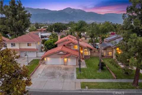
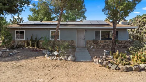
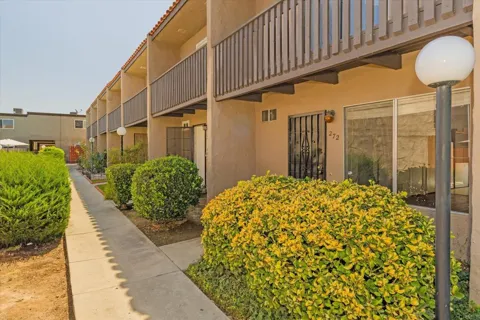
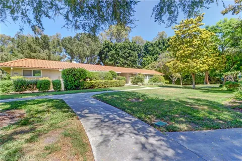
Houses in Victorville, CA
Handpicked properties hitting the scene in your area.
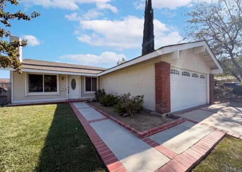
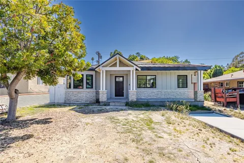
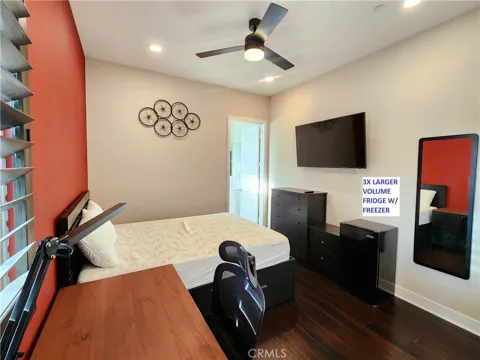
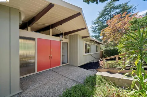
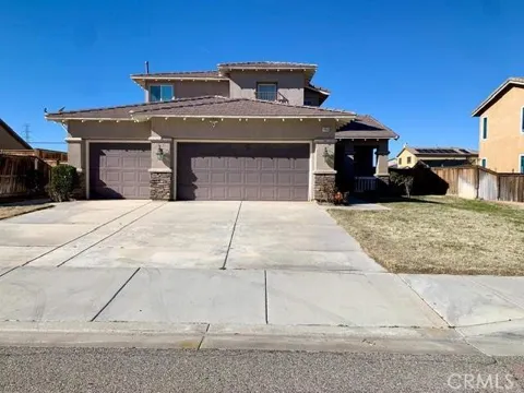
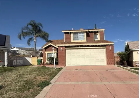
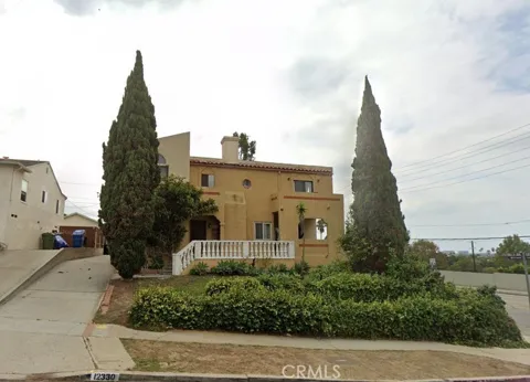
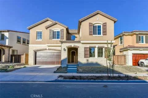
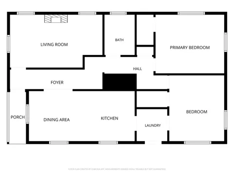
For sale
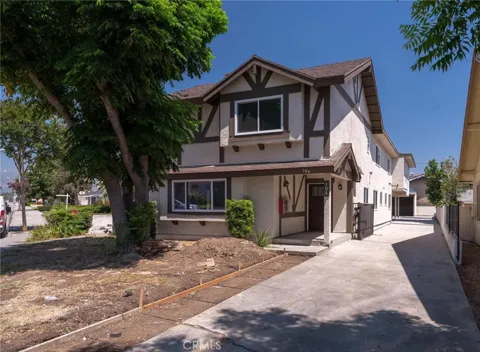
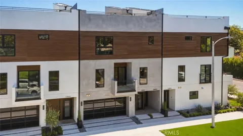
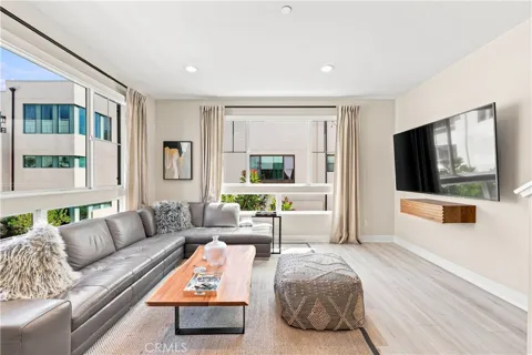
Townhomes in Victorville, CA
Handpicked properties hitting the scene in your area.
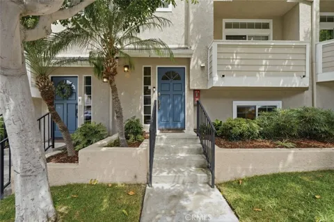
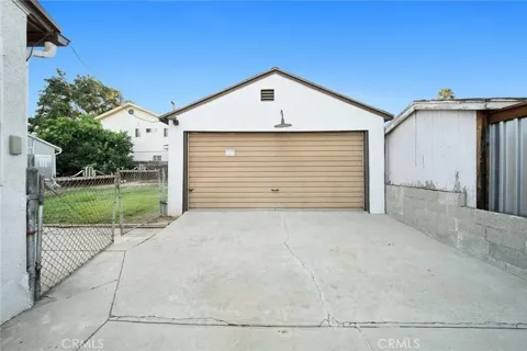
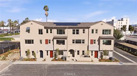
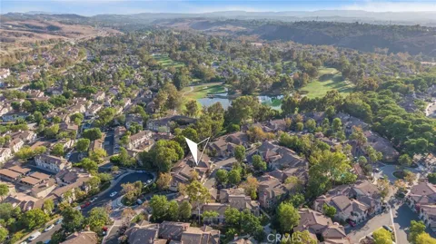
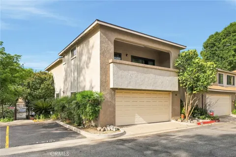
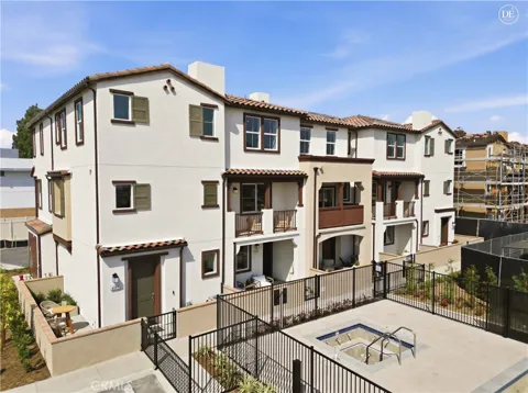
For sale
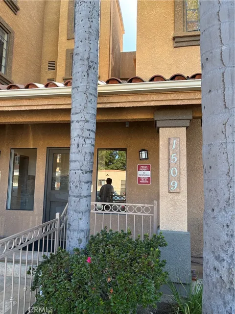
Condos in Victorville, CA
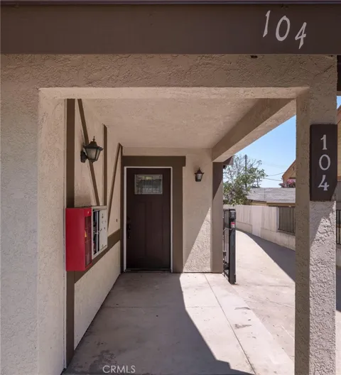
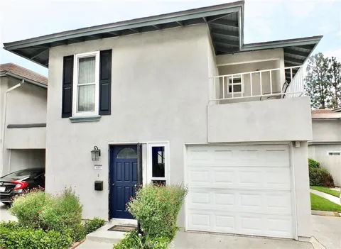
Handpicked properties hitting the scene in your area.

Zip Codes
BROWSE BY ZIP
Browse listings by postal code in this area.
- Grid
- Map
- List