Hillside City in the Inland Empire
Welcome to Chino Hills, a planned hillside city in southwestern San Bernardino County, framed by Chino Hills State Park and linked to Orange County by the 71 Freeway.
Chino Hills is a city in the southwestern corner of San Bernardino County, California, positioned where the Inland Empire meets the borders of Orange and Los Angeles counties. With a population of roughly 77,000, it is one of the region's best-known master-planned communities, built across a landscape of rolling hills that gives the city its name and its distinctive look. The area's history reaches back to the Spanish mission era, when the land around Mission San Gabriel supported ranching and agriculture. The modern city emerged later, as the rural hills were transformed into planned residential neighborhoods. A key turning point was the preservation of Chino Hills State Park: through the efforts of the grassroots group Hills for Everyone, roughly 14,100 acres of hills were set aside, creating the largest California State Park located within an urban setting and protecting a signature swath of open space. Chino Hills is largely residential, with neighborhoods laid out across the hillsides and along the valleys. The city has developed a reputation for family-oriented suburban living with well-regarded schools and convenient access to regional job centers. The Chino Valley Unified School District serves Chino Hills along with neighboring Chino and part of Ontario. Retail and dining concentrate at The Shoppes at Chino Hills, an open-air, main-street-style center of more than 375,000 square feet at Grand Avenue and Peyton Drive, just off the 71 Freeway. The center anchors the city's commercial life alongside neighborhood shopping plazas. Recreation is defined by the state park, which offers miles of trails for hiking, mountain biking, and horseback riding across rolling grasslands and hills, with views toward the surrounding valleys. The city also maintains a network of local parks and community facilities. Transportation revolves around State Route 71, the Chino Valley Freeway, which runs along the city's edge and connects to State Routes 57, 60, and 91, giving residents direct routes into Orange County, the Pomona and San Gabriel valleys, and western Riverside County. The proximity to multiple freeways makes Chino Hills a base for commuters across a wide swath of Southern California.
Chino Hills is in the southwestern corner of San Bernardino County, California, near the borders of Orange and Los Angeles counties. It is part of the Inland Empire region of Southern California.
Chino Hills State Park is a roughly 14,100-acre preserve and the largest California State Park located within an urban setting. Created through the efforts of the grassroots group Hills for Everyone, it offers trails for hiking, mountain biking, and horseback riding across rolling hills and grasslands.
Chino Hills is served by Chino Valley Unified School District, which also covers the city of Chino and the southwestern portion of Ontario. The district traces its roots to 1860 and operates schools across the Chino Valley.
The Shoppes at Chino Hills is an open-air, main-street-style retail and dining center of more than 375,000 square feet at Grand Avenue and Peyton Drive, just off the 71 Freeway. It anchors the city's shopping, dining, and entertainment scene.
State Route 71, the Chino Valley Freeway, runs along the city's edge and connects to State Routes 57, 60, and 91, giving residents direct freeway routes into Orange County, the Pomona and San Gabriel valleys, and western Riverside County.
City Guide
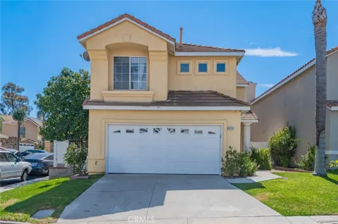
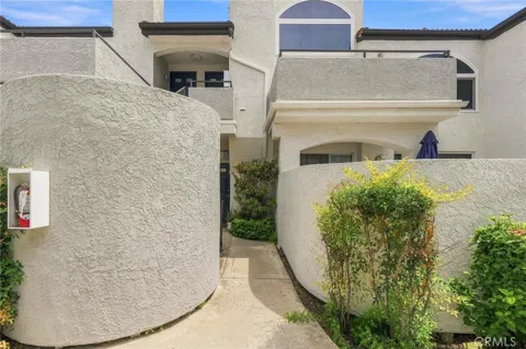
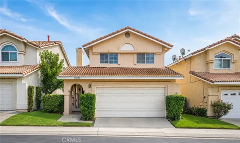
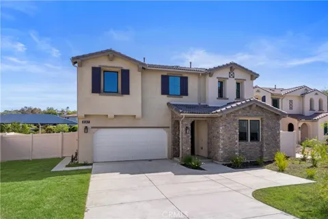
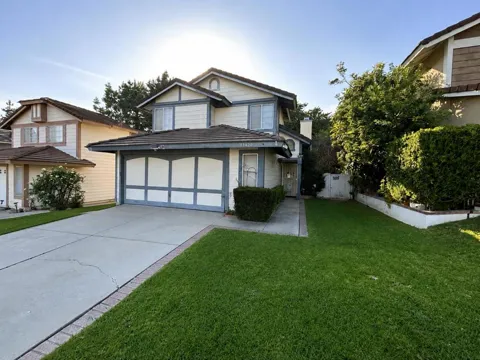
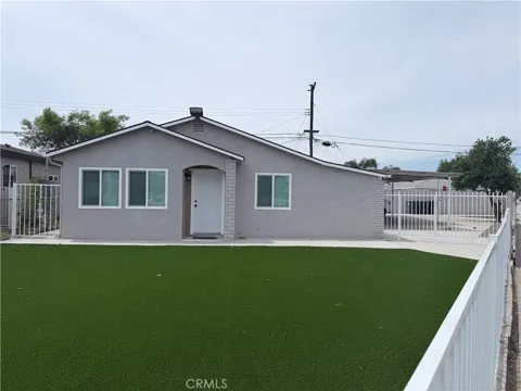
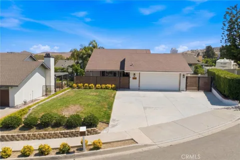
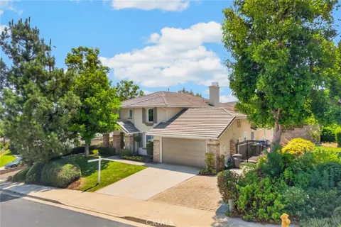
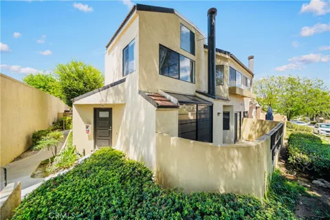
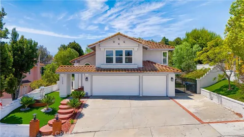
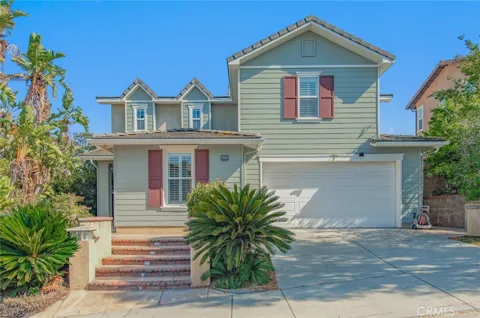
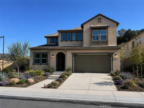
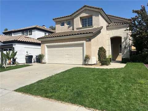
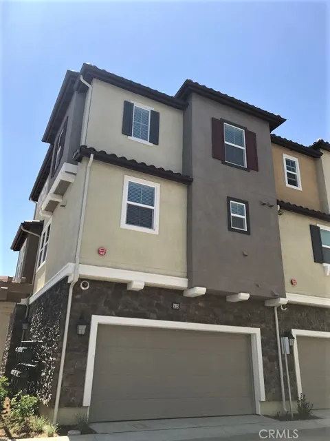
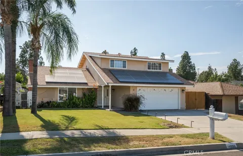
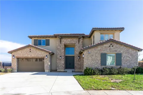
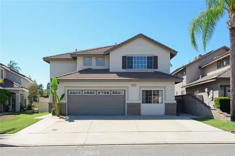
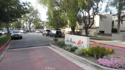
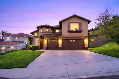
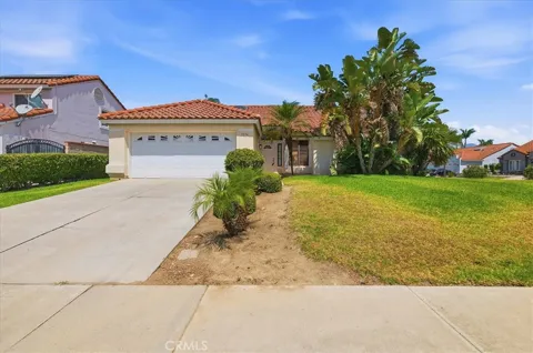
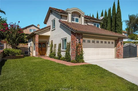
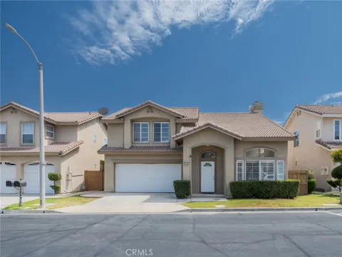
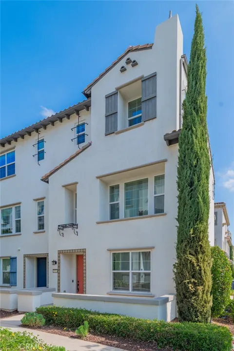
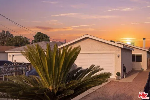
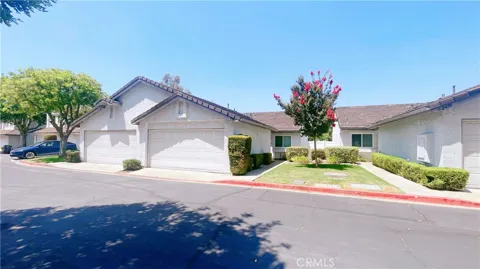
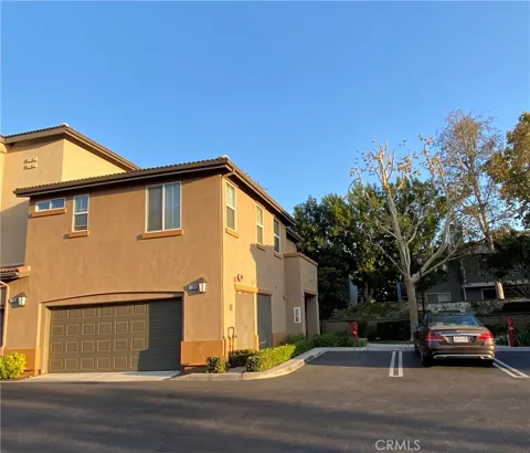
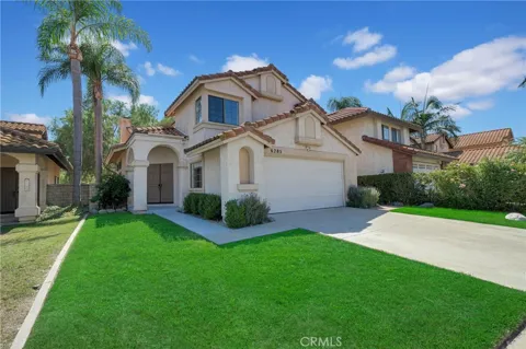
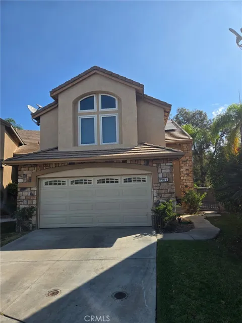
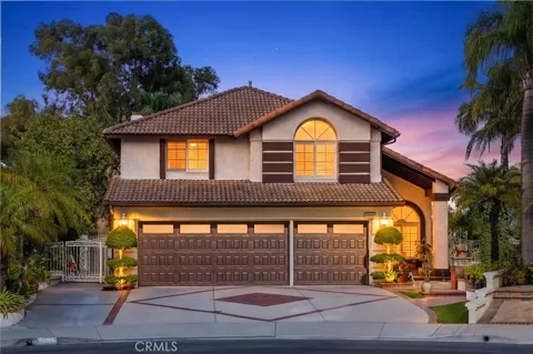
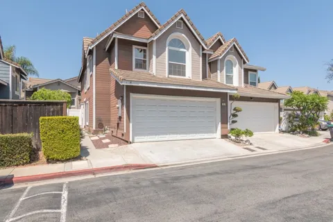
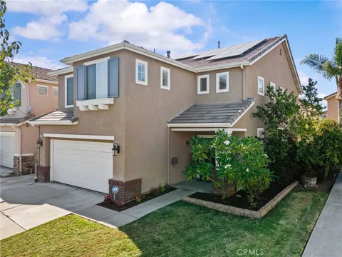
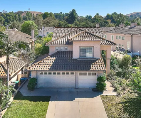
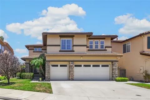
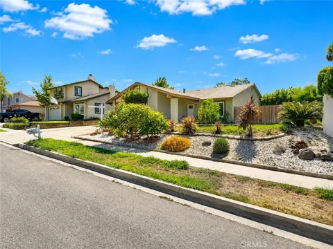
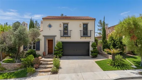
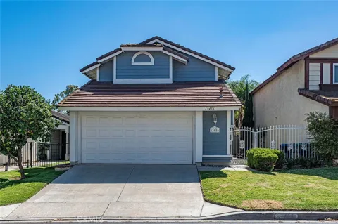
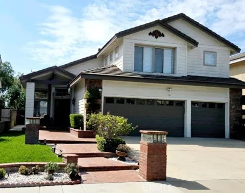
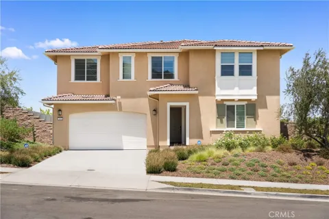
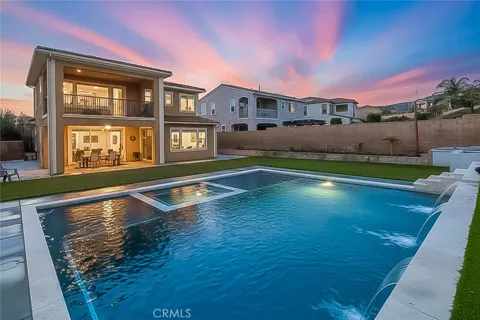
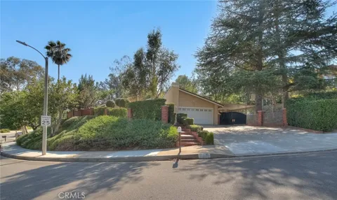
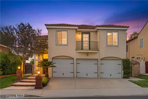
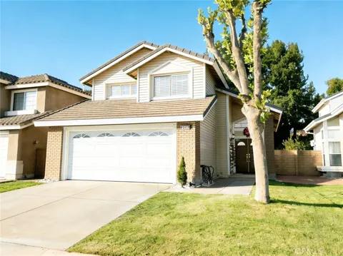
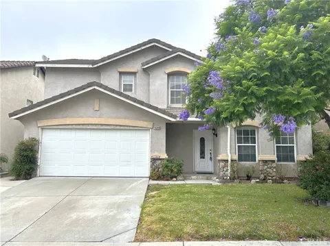
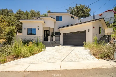
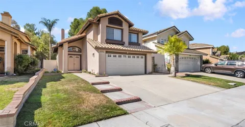
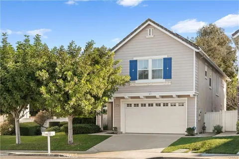
Chino Hills' housing stock is defined by master-planned subdivisions built across the city's hillsides, with a strong share of larger single-family homes, view lots, and gated communities. Much of the residential development dates from the city's growth era in the late 20th century onward, giving the housing stock a relatively uniform, contemporary suburban character compared with older Inland Empire cities. Neighborhoods are arranged around the hills and valleys, with homes sited to take advantage of the topography and proximity to the state park.
Chino Hills is laid out as a series of hillside residential communities rather than one dense grid. The city grew from the historic Los Serranos area and expanded into planned neighborhoods across the surrounding hills and valleys, including gated enclaves and larger estate-style streets. The Carbon Canyon corridor forms a distinct western edge, while the areas nearer the 71 Freeway and The Shoppes mix residential with convenient retail access. Open space from Chino Hills State Park threads along the city's southern flank.
Chino Hills offers a family-oriented suburban lifestyle set against a backdrop of rolling hills and preserved open space. Life centers on master-planned neighborhoods, local parks, and the trails of Chino Hills State Park, while The Shoppes at Chino Hills provides open-air dining, shopping, and a community gathering place. The city's position near three county borders gives residents easy access to the amenities of Orange County, the San Gabriel Valley, and the wider Inland Empire, making it a comfortable base for Southern California commuters and families alike.
Chino Hills is served by Chino Valley Unified School District, which also covers the city of Chino and the southwestern portion of Ontario. The district traces its origins to 1860 and operates elementary, middle, and high schools across the Chino Valley, with several of its campuses recognized as California Schools to Watch. The district's presence gives Chino Hills families access to a full K-12 system, along with nearby community colleges and universities across the greater Los Angeles and Inland Empire region.
State Route 71, the Chino Valley Freeway, is Chino Hills' primary corridor, running along the city's edge and connecting to State Routes 57, 60, and 91. These links give residents direct freeway access into Orange County, the Pomona and San Gabriel valleys, and western Riverside County. State Route 142, including Carbon Canyon Road, provides an additional route along the city's western side. The city is primarily car-dependent, and commuters rely on these corridors for regional travel.
Chino Hills State Park is the centerpiece of recreation here. The roughly 14,100-acre preserve — the largest California State Park in an urban setting — offers miles of trails for hiking, mountain biking, and horseback riding across rolling grasslands and oak-dotted hills. The park was protected through the work of the community group Hills for Everyone and remains a defining feature of the city's southern edge. Within the city, neighborhood parks, sports fields, and community facilities round out the outdoor options for residents.
MARKET SNAPSHOT
How homes have been selling here over the last 90 days.
Market data reflects closed sales over the last 90 days and is provided for informational purposes.
BROWSE BY ZIP
Browse listings by postal code in this area.