Peninsula Biotech Capital
Welcome to South San Francisco, the San Mateo County "birthplace of biotechnology" set between San Bruno Mountain and the bay, minutes from downtown San Francisco and SFO.
South San Francisco sits in northern San Mateo County on the bay side of the San Francisco Peninsula, separated from San Francisco itself by the city of Daly City and Brisbane to the north. Although the two share a name, South San Francisco is an independent, incorporated city with its own identity, economy, and civic history. Founded amid the industrial growth of the early twentieth century, the city was long known for its stockyards, steel mills, and manufacturing plants, a heritage commemorated by the giant white letters reading "South San Francisco The Industrial City" that have stood on the hillside since the 1920s. That industrial foundation evolved into one of the most significant life-science economies in the world. The founding of Genentech in 1976 marked the beginning of the biotechnology industry, and South San Francisco has since grown into a dense cluster of more than 250 biotech and pharmaceutical companies occupying millions of square feet of laboratory and office space. The city describes itself as the birthplace of biotechnology, and its workforce is shaped by scientists, researchers, and the supporting professional community drawn to the East of 101 corridor. Residentially, South San Francisco is a diverse, family-oriented city of roughly 65,000 people. Its neighborhoods climb the lower slopes of Sign Hill and San Bruno Mountain, with many homes enjoying views across the bay toward San Francisco and the East Bay. The population includes a large Filipino American community along with long-established immigrant communities, contributing to a rich mix of restaurants, churches, and cultural institutions along the Grand Avenue corridor and downtown. Location is one of the city's defining advantages. It sits directly between two major freeways, U.S. Highway 101 and Interstate 280, is served by both BART and Caltrain rail lines, and lies immediately adjacent to San Francisco International Airport. This connectivity, combined with the city's biotech base and its relative value within the expensive Peninsula market, makes South San Francisco a practical and increasingly sought-after address for commuters and life-science workers alike.
South San Francisco is in San Mateo County, California, on the bay side of the San Francisco Peninsula. It sits just south of San Francisco, separated from it by Daly City and Brisbane, and is an independent incorporated city rather than a neighborhood of San Francisco itself.
South San Francisco is known as the birthplace of biotechnology. Genentech was founded there in 1976, and the city has since grown into one of the world's largest biotech clusters, home to more than 250 life-science companies. It is also known for its historic hillside sign reading 'South San Francisco The Industrial City,' which reflects its earlier manufacturing and stockyard heritage.
South San Francisco has a BART station offering direct rail service to downtown San Francisco, and a Caltrain station with service between San Francisco and San Jose. U.S. Highway 101 and Interstate 280 provide freeway access by car, and SamTrans buses serve local routes. San Francisco International Airport is immediately adjacent and reachable in minutes by BART or car.
The South San Francisco Unified School District serves the city, operating 17 schools with roughly 7,700 students. The district also covers a small portion of San Bruno and the Serramonte area of Daly City. It includes multiple elementary schools and South San Francisco and El Camino high schools.
South San Francisco has a population of roughly 65,000 residents. It is a diverse, family-oriented city with a large Filipino American community and a workforce strongly shaped by the life-science industry concentrated along the East of 101 corridor.
City Guide
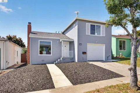
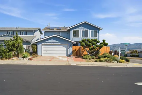
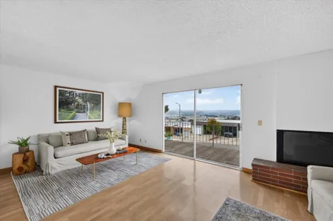
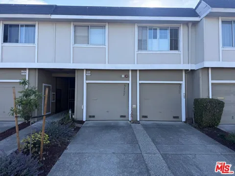
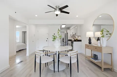
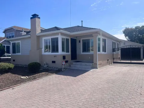
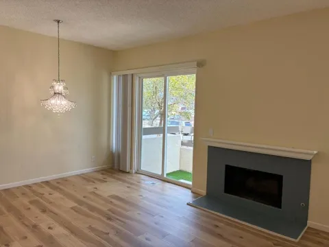
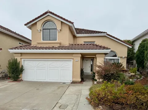
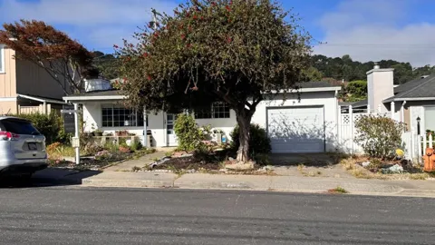
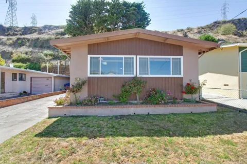
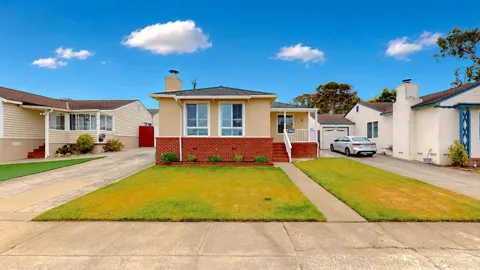
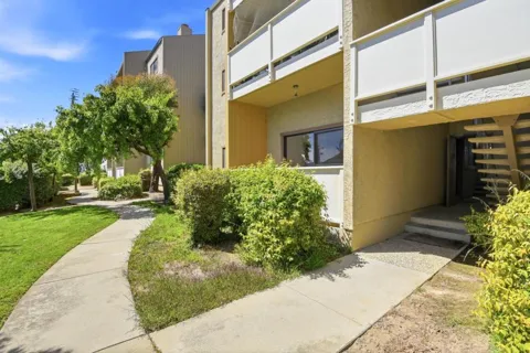
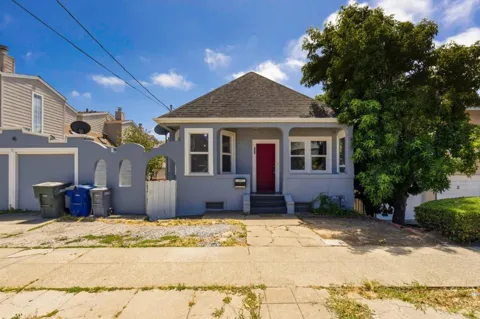
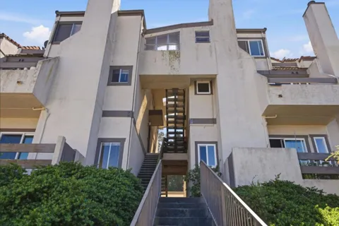
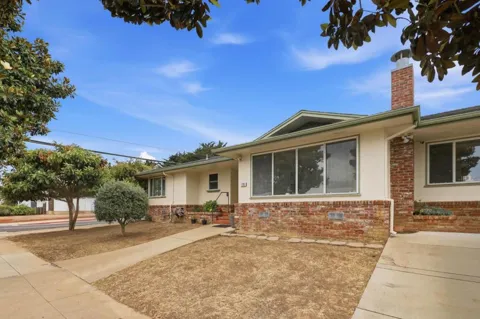
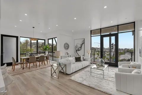
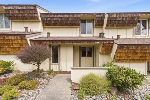
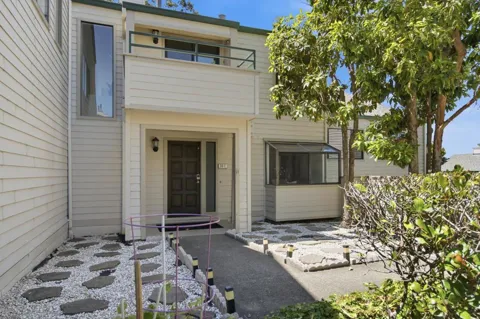
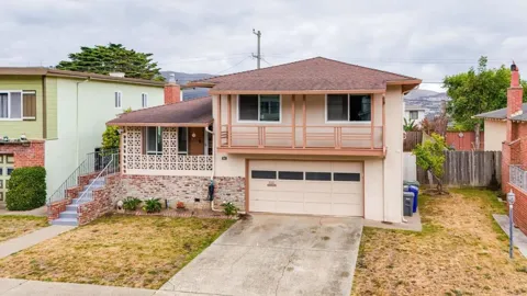
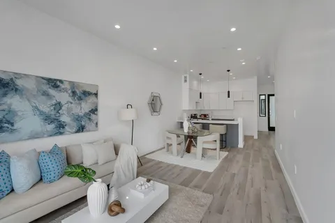
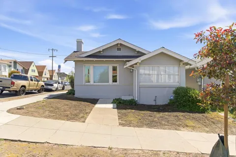
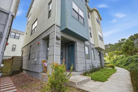
South San Francisco's housing stock reflects its mid-century industrial growth and its more recent role as a Bay Area employment center. The hillside neighborhoods are dominated by single-family homes built largely from the 1940s through the 1970s, including ranch-style and split-level houses, many on modest lots with bay views. The flatter areas near downtown and the transit corridors offer a growing supply of condominiums, townhomes, and apartment buildings, including newer development near the BART station. Neighborhoods such as Westborough, Sunshine Gardens, Buri Buri, and Serra Highlands each carry distinct mid-century characters. The city's combination of commuter rail access, proximity to San Francisco, and a major local employment base sustains consistent housing demand across both the hillside and valley areas.
South San Francisco is organized around a downtown core and a series of hillside and valley neighborhoods. Westborough, on the city's south side, is a sizable planned residential district known for its parks and schools. Sunshine Gardens and Buri Buri occupy the central valley with mid-century single-family homes near shopping and transit. Serra Highlands and the neighborhoods climbing Sign Hill offer elevated lots and views of the bay and San Bruno Mountain. On the east side, Old Town and the Grand Avenue corridor anchor the city's downtown with civic buildings, retail, and dining. Smaller pockets such as Paradise Valley, Francisco Terrace, and Mayfair Village round out a city whose neighborhoods are generally compact, walkable, and closely connected to the freeways and rail lines.
South San Francisco blends a hardworking industrial legacy with a family-centered, culturally rich present. The city's diversity is central to its character, with a prominent Filipino American community and a broad mix of residents that is reflected in the restaurants, bakeries, and markets along Grand Avenue and throughout town. The biotech corridor brings a steady stream of scientists and professionals, while long-time residents maintain deep roots in the city's civic, religious, and community organizations. Downtown hosts civic events and gatherings, and the city's compact scale means most neighborhoods are within a short drive of shopping, dining, and schools. Life here moves at a slightly slower pace than San Francisco across the hill, yet remains fully plugged into the regional economy.
Public education in South San Francisco is provided by the South San Francisco Unified School District, which operates 17 schools serving roughly 7,700 students. The district covers the city of South San Francisco along with a small portion of neighboring San Bruno and the Serramonte area of Daly City, and includes multiple elementary schools, middle schools, and South San Francisco and El Camino high schools. The district's elementary campuses include Buri Buri, Junipero Serra, Los Cerritos, Martin, Monte Verde, and Ponderosa, among others. For higher education, nearby Skyline College in San Bruno and the broader San Mateo County Community College District offer convenient options, while San Francisco's universities are a short BART ride away.
South San Francisco offers some of the strongest transportation access on the Peninsula. A BART station at the city's center provides direct rail service to San Francisco, the East Bay, and San Francisco International Airport, while Caltrain stops in South San Francisco with service between San Francisco and San Jose. SamTrans buses cover local routes, and U.S. Highway 101 and Interstate 280 run along the city's eastern and western flanks. San Francisco International Airport lies immediately south, reachable in minutes by car or BART. This layered network gives residents car-free commuting options and makes the city a convenient base for workers across the Bay Area's biotech, tech, and service economies.
Outdoor recreation centers on Sign Hill and San Bruno Mountain, the two ridgelines that frame the city. Sign Hill Park preserves 65 acres of grassland and scrub and offers a loop trail leading to the landmark hillside sign, with sweeping views over the bay. The larger San Bruno Mountain State and County Park, directly to the north, provides extensive hiking and ridge-top vistas of the entire Bay Area. Along the bayfront, the San Francisco Bay Trail offers walking and cycling with water views, and city parks such as Orange Memorial Park provide sports fields, playgrounds, and community facilities. The combination of hillside trails, bayfront paths, and easy freeway access to regional parks makes the city unusually well connected to the outdoors.
MARKET SNAPSHOT
How homes have been selling here over the last 90 days.
Market data reflects closed sales over the last 90 days and is provided for informational purposes.
BROWSE BY ZIP
Browse listings by postal code in this area.