San Fernando Valley Neighborhood
Welcome to Encino, an established San Fernando Valley neighborhood at the foot of the Santa Monica Mountains, known for its ranch-style homes, Ventura Boulevard dining, and the vast Sepulveda Basin.
Encino is a neighborhood in the San Fernando Valley region of Los Angeles, California, occupying the southern edge of the Valley where the flatland meets the Santa Monica Mountains. It sits directly north of Bel Air and Brentwood and is bordered by Sherman Oaks to the east, Tarzana and Reseda to the west, and Lake Balboa to the north. This position gives Encino a dual character: a classic Valley suburb on its northern half, and a foothill community on its southern, hillside half. The neighborhood's history follows the arc of the San Fernando Valley's suburban expansion. Once ranch and agricultural land, Encino developed into a leafy residential district through the mid-twentieth century, and its housing stock still reflects that era in its many single-story ranch and mid-century homes. Over time it became one of the Valley's more established and sought-after communities, known for larger lots, mature trees, and a steady, family-oriented character. Today Encino is home to roughly 52,000 people. Ventura Boulevard serves as the neighborhood's commercial spine, running east-west with restaurants, shops, and services, while the Sepulveda Basin anchors the western edge with a 2,000-acre network of parks, lakes, and golf courses. The 405 freeway runs along the neighborhood's western boundary, and the 101 is readily accessible to the south, making Encino a practical base for commuters across the Valley and the Westside. For someone considering a move, Encino offers established suburban living inside the city of Los Angeles: spacious homes and yards, good school options, abundant parkland, and a dining-and-shopping corridor, all within minutes of both the Westside and the wider Valley. It appeals especially to families, professionals, and anyone seeking a quieter residential setting without sacrificing access to the rest of Los Angeles.
Encino is not an incorporated city. It is a neighborhood within the City of Los Angeles, located in the San Fernando Valley region of Los Angeles County, California, at the southern foot of the Santa Monica Mountains.
Encino is served by the Los Angeles Unified School District. Neighborhood campuses include Encino Charter Elementary and Hesby Oaks Leadership Charter, and the area is also home to a number of private schools.
Encino sits in the southern San Fernando Valley at the foot of the Santa Monica Mountains, directly north of Bel Air and Brentwood and near Sherman Oaks, Tarzana, Reseda, and Lake Balboa.
The Sepulveda Basin is a roughly 2,000-acre flood-control and recreation area along the Los Angeles River at Encino's western edge. It contains Lake Balboa (Anthony C. Beilenson Park), the Balboa and Hjelte sports centers, Woodley Park, and the Encino, Balboa, and Woodley Lakes golf courses.
Ventura Boulevard is Encino's principal commercial corridor, running east-west through the neighborhood with restaurants, shops, and services. It sits just off the 405 freeway and links Encino to Sherman Oaks, Studio City, and the rest of the Valley.
Encino is inland, at the northern foot of the Santa Monica Mountains, so it is not a beach community. The Westside and the Pacific coast are reached over the hill via the Sepulveda Pass, a drive of several miles to the south.
City Guide
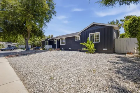
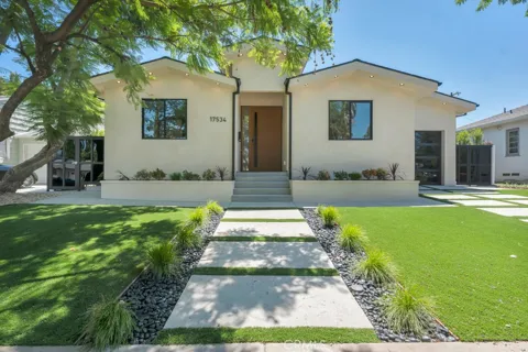
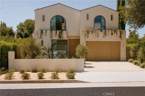
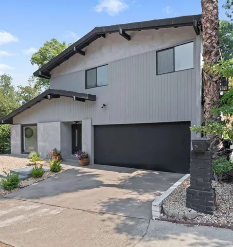
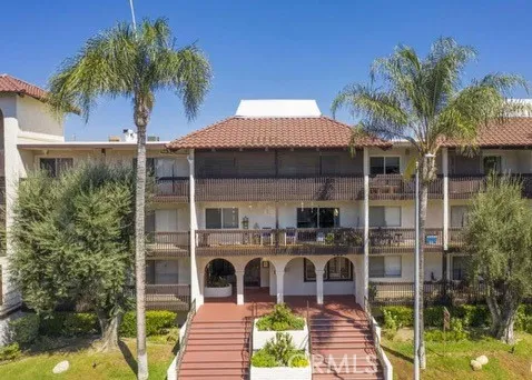
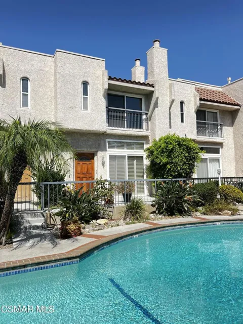
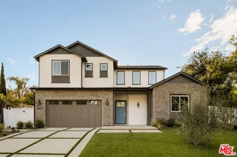
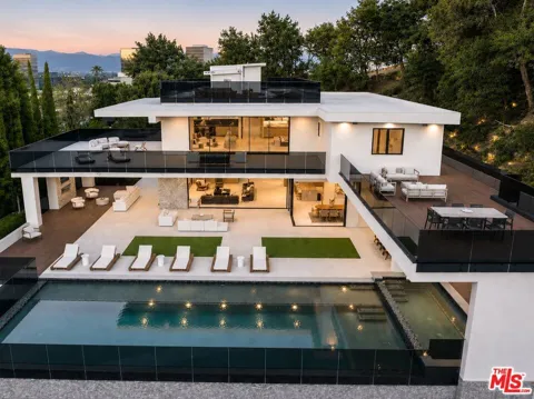
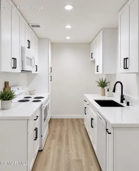
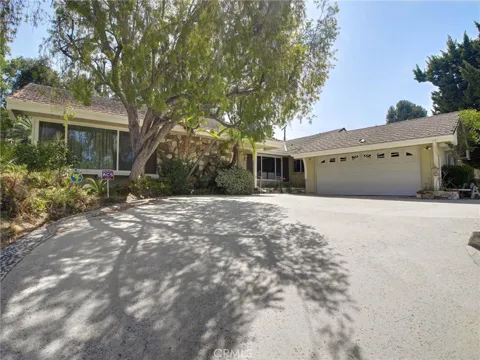
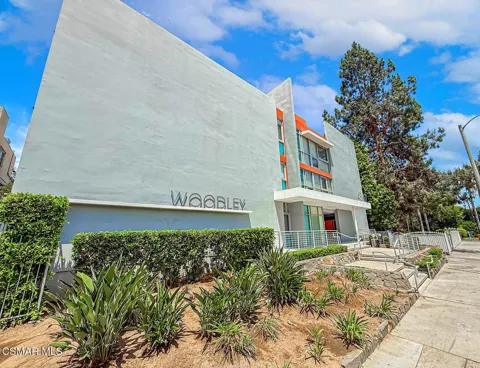
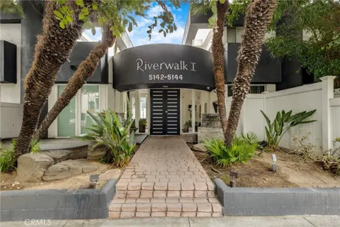
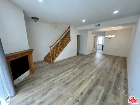
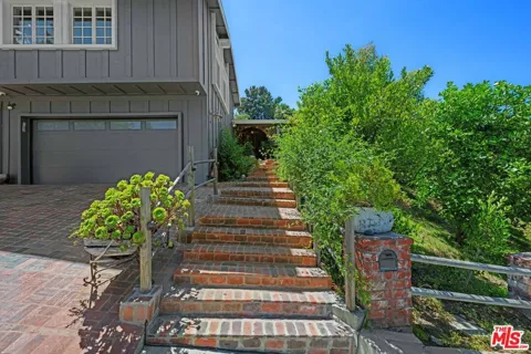
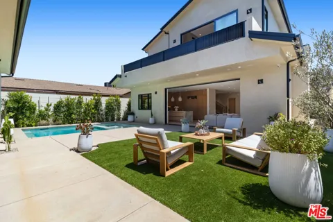
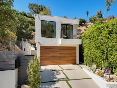
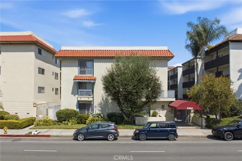
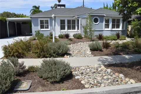
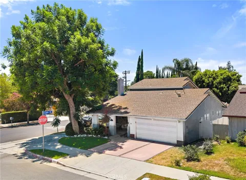
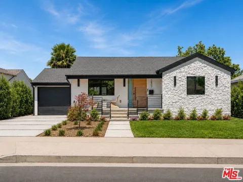
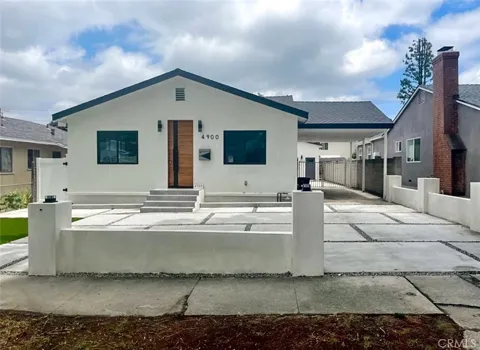
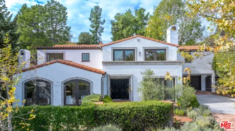
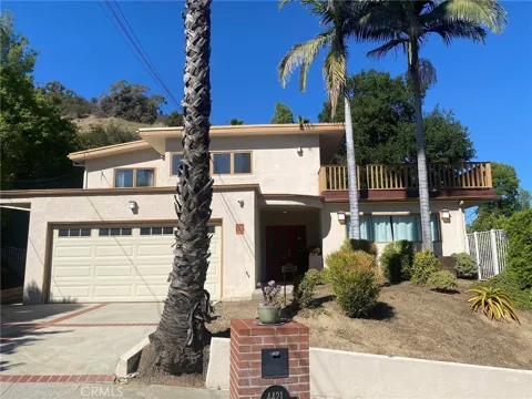
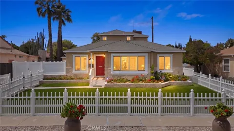
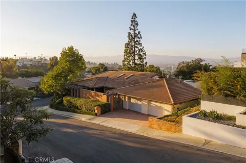
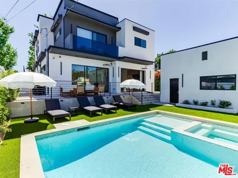
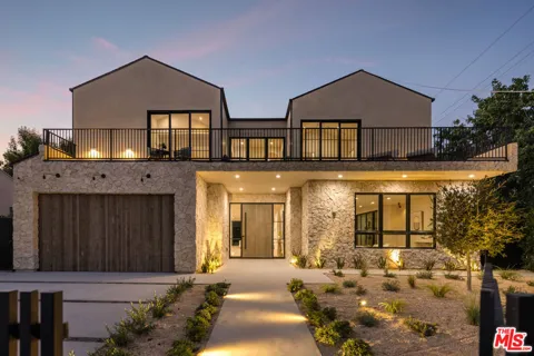
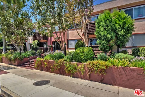
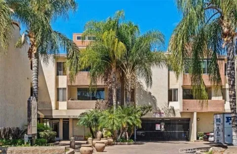
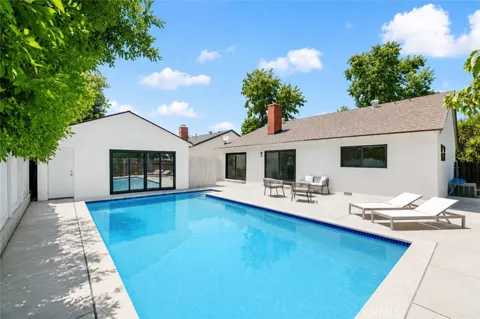
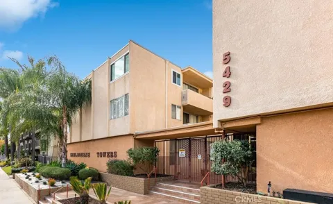
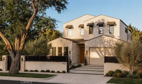
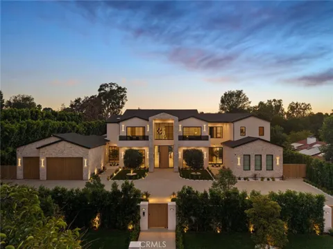
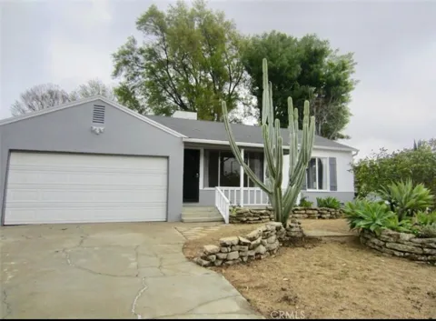
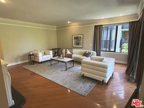
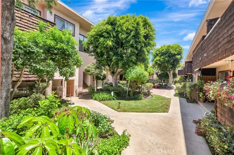
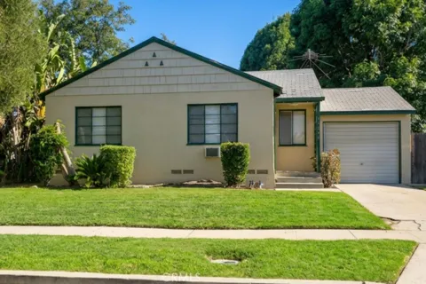
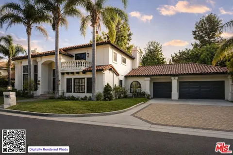
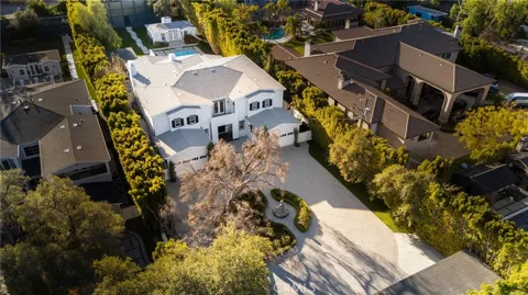
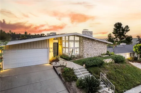
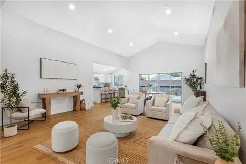
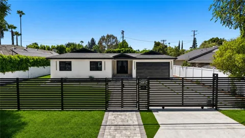
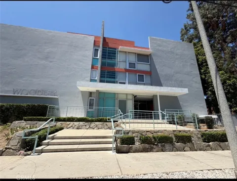
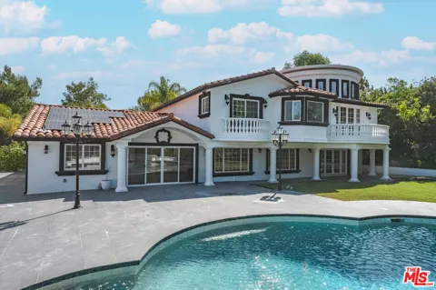
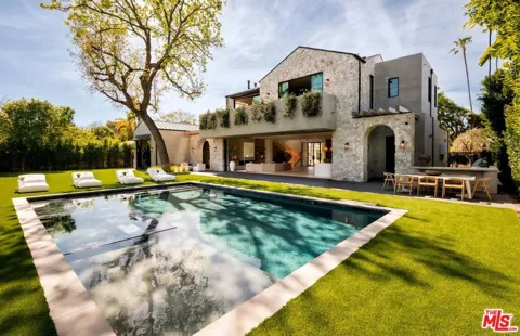
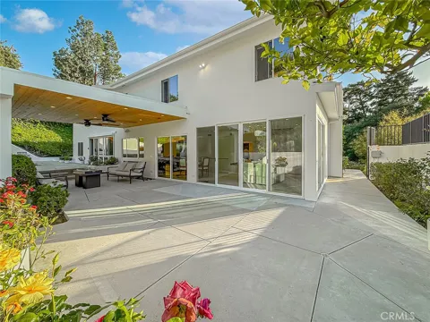
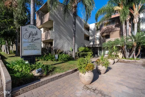
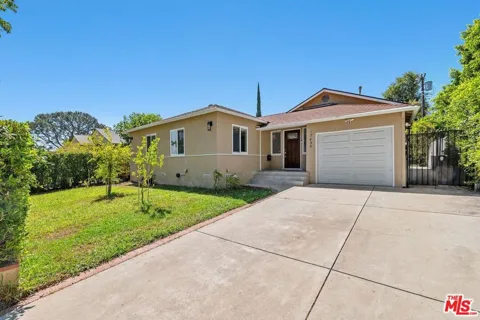
Encino's housing stock is rooted in the post-war boom that shaped the San Fernando Valley. The neighborhood is known for its single-story ranch and mid-century homes, many on larger lots than is typical in Los Angeles, with mature landscaping and wide residential streets. South of Ventura Boulevard, and especially in the Encino Hills, properties step up the lower Santa Monica Mountains, where hillside lots, larger estates, and canyon and city views become more common. The inventory ranges from well-maintained original ranches to extensively updated and expanded homes, along with a smaller supply of newer construction and gated properties. Townhomes and condominiums cluster near Ventura Boulevard and the freeway corridors. This breadth means Encino can accommodate everyone from a first-time condo buyer to a family seeking a spacious single-family home with a yard, all within a well-regarded and established Los Angeles neighborhood.
Encino's internal geography is shaped by Ventura Boulevard and the Santa Monica Mountains. The area north of the boulevard is flatter and more traditionally suburban, with ranch-style homes and easy access to the commercial corridor and the Sepulveda Basin. The area south of Ventura Boulevard climbs into the foothills, where the Encino Hills offer winding streets, larger lots, and homes with views across the Valley or toward the mountains. The neighborhood is bounded and influenced by its neighbors: Bel Air and Brentwood lie over the hill to the south, Sherman Oaks and Studio City to the east, Tarzana and Woodland Hills to the west, and Lake Balboa and Reseda to the north. This positioning means Encino residents share in the broader Valley's amenities while retaining a distinct, hillside-edged identity. Home searches here typically weigh flatland convenience against hillside views and privacy, with a wide range of property types between the two.
Encino offers an established, suburban way of life within the city of Los Angeles. Tree-lined residential streets and generous lots give the neighborhood a quieter, more spread-out feel than many parts of the metro, while Ventura Boulevard supplies a steady stream of restaurants, cafés, shops, and services. The dining scene spans longstanding Valley institutions and newer kitchens, drawing both locals and visitors from across the west Valley. The neighborhood's position at the base of the Santa Monica Mountains places it close to the Westside—Bel Air, Brentwood, and the UCLA corridor lie directly over the hill—while keeping everyday life oriented around the Valley's more relaxed pace. Families value the combination of good public and private school options, parks, and proximity to major freeways. The result is a lifestyle that mixes suburban comfort, convenient commerce, and easy access to both the Valley and the Westside.
Public schools in Encino are part of the Los Angeles Unified School District, the second-largest school district in the nation. Neighborhood campuses include Encino Charter Elementary and Hesby Oaks Leadership Charter, both of which anchor the local elementary landscape, with middle and high school students attending nearby LAUSD schools in the west Valley. The district's magnet and charter options give families additional pathways beyond neighborhood assignments. Encino also has a strong tradition of private education, with a number of independent and religious schools serving the community and surrounding areas. For higher education, the neighborhood's location places several colleges and universities within reasonable reach, including campuses in the Westside and across the Valley. Families evaluating a move typically weigh neighborhood schools, charter and magnet programs, and private options, all of which are well represented in this part of Los Angeles.
Encino is well connected within the Los Angeles region. Interstate 405, the San Diego Freeway, runs along the neighborhood's western edge, carrying commuters south through the Sepulveda Pass to the Westside and north into the Valley, while the 101, the Ventura Freeway, lies just to the south and links Encino to the rest of the Valley and greater Los Angeles. Ventura Boulevard functions as the main local east-west artery, providing an alternative surface route through Sherman Oaks and beyond. For transit, the Metro G Line busway serves the Sepulveda Basin area with stations at Balboa and Woodley, offering rapid bus connections across the Valley. The neighborhood's freeway proximity makes it a practical home base for commuters to the Westside, downtown Los Angeles, and Valley employment centers, though daily travel, as throughout Los Angeles, is primarily by car.
The Sepulveda Basin Recreation Area is the centerpiece of outdoor life in Encino. This roughly 2,000-acre flood-control basin along the Los Angeles River, managed by the city's Department of Recreation and Parks, contains Lake Balboa (officially Anthony C. Beilenson Park), a popular spot for walking, picnicking, and boating around its lake, as well as the Balboa and Hjelte sports centers, Woodley Park, and the Sepulveda Garden Center. Golfers have three courses to choose from: Encino, Balboa, and Woodley Lakes. Beyond the basin, the Santa Monica Mountains rise immediately to the south, with trailheads and open space accessible within minutes, including routes through the hills toward the Westside. The Los Angeles River Recreation Zone at the basin offers additional access for kayaking and fishing in season. Together, these resources give Encino an unusually large share of parks and green space for an established urban neighborhood.
MARKET SNAPSHOT
How homes have been selling here over the last 90 days.
Market data reflects closed sales over the last 90 days and is provided for informational purposes.
BROWSE BY ZIP
Browse listings by postal code in this area.