High Desert Oasis Community
Welcome to Morongo Valley, an unincorporated High Desert community where the Big Morongo Canyon Preserve brings water, wildlife, and trails to the Mojave.
Morongo Valley is an unincorporated community in San Bernardino County, California, situated in the Morongo Basin of the Mojave Desert along State Route 62. It occupies a transition zone where the arid High Desert gives way to the springs and canyon wetlands of the Big Morongo Canyon, a setting that has drawn people to the area for more than a century. The Serrano and Chemehuevi peoples inhabited the basin long before European settlement, and the modern community took shape in the early twentieth century as federal homesteading programs, including the Small Tract Act of 1938, encouraged settlers to claim small desert parcels for cabins and modest development. Today roughly 4,000 people live in Morongo Valley, which remains unincorporated and under the jurisdiction of San Bernardino County. The community's defining natural feature is the Big Morongo Canyon Preserve, a roughly 30,000-acre protected area where springs feed a lush ribbon of marsh, willows, and cottonwoods in an otherwise dry landscape. The preserve is one of the region's most important bird habitats and a well-known destination for birders and hikers, with trails and an accessible boardwalk through the riparian corridor. Morongo Valley appeals to people who want quiet, low-density desert living with access to the outdoors. State Route 62 places the community within a short drive of Yucca Valley and Joshua Tree to the east and the Coachella Valley and Palm Springs area to the south, giving residents both seclusion and convenience. Students attend the Morongo Unified School District, and the broader basin offers the cultural and recreational draw of Joshua Tree National Park and the High Desert's artist communities.
Morongo Valley is an unincorporated community in San Bernardino County, California, located in the Mojave Desert's Morongo Basin. It lies along State Route 62 between Yucca Valley and the Coachella Valley.
The Big Morongo Canyon Preserve is a roughly 30,000-acre protected area at the edge of Morongo Valley. Its springs and riparian habitat create a desert oasis known for birding, with trails and an accessible boardwalk through marsh and cottonwood groves.
Morongo Valley is served by the Morongo Unified School District, which educates students across the Morongo Basin, including the communities of Twentynine Palms and Yucca Valley. The district operates 17 schools.
Morongo Valley sits on State Route 62, about 20 miles from the Interstate 10 interchange near Palm Springs. The same highway leads east through Yucca Valley and Joshua Tree to Twentynine Palms and Joshua Tree National Park.
No. Morongo Valley is an unincorporated census-designated place under the jurisdiction of San Bernardino County, with no municipal government of its own. The community developed through early-twentieth-century homesteading and the Small Tract Act rather than through formal incorporation as a city.
City Guide
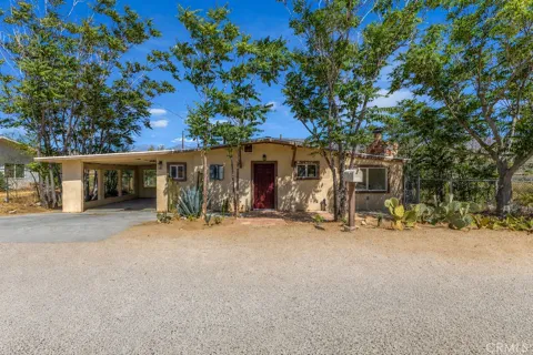
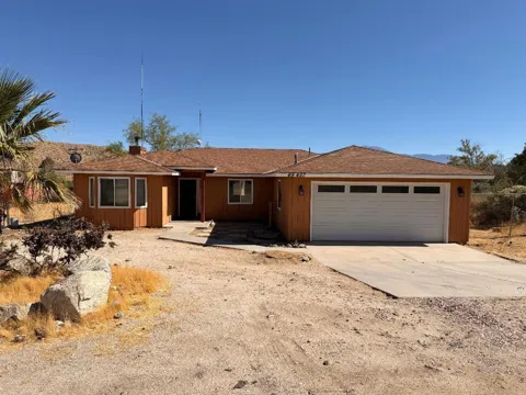
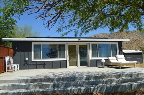
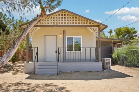
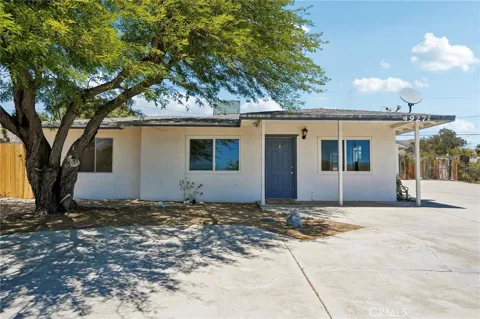
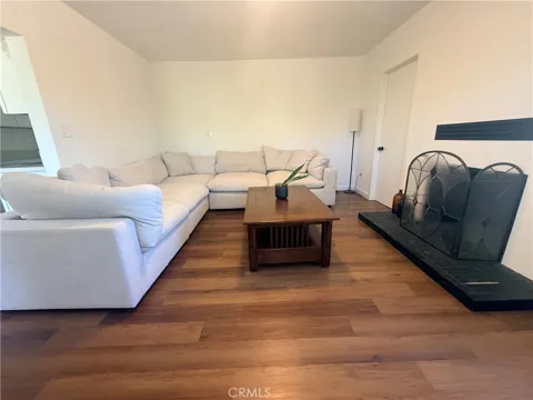
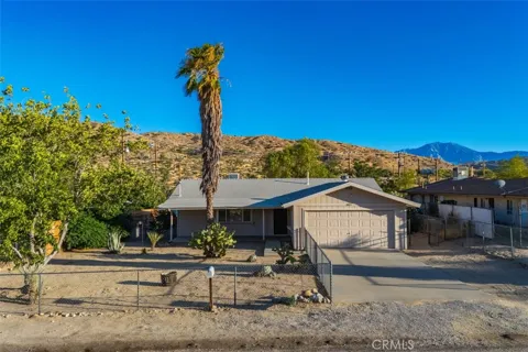
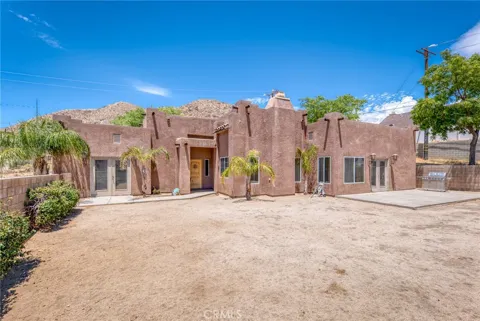
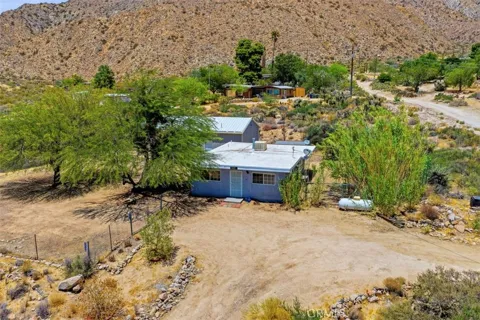
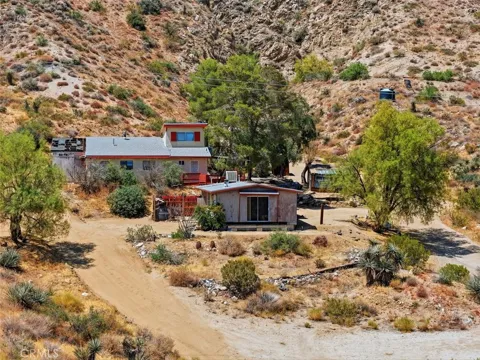
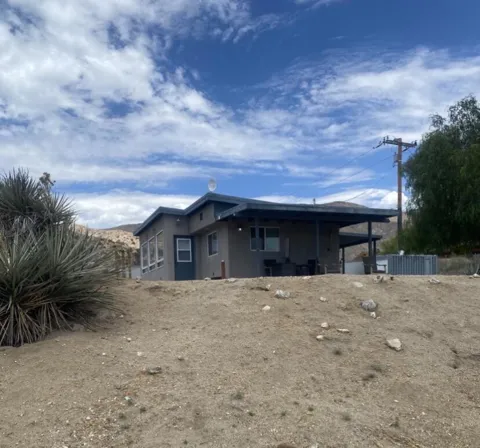
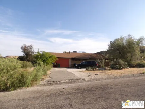
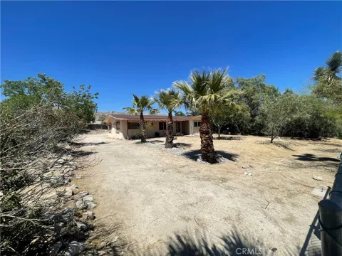
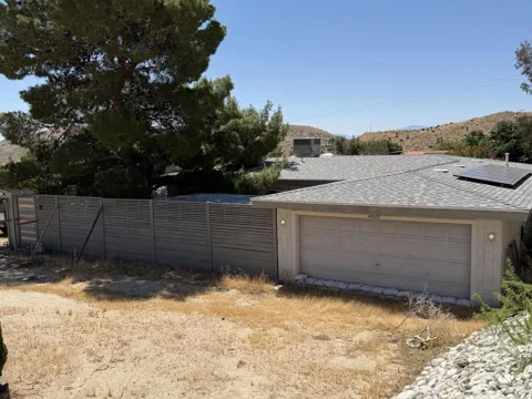
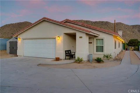
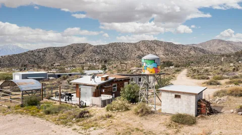
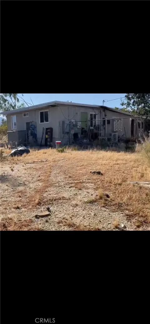
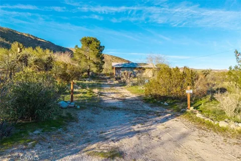
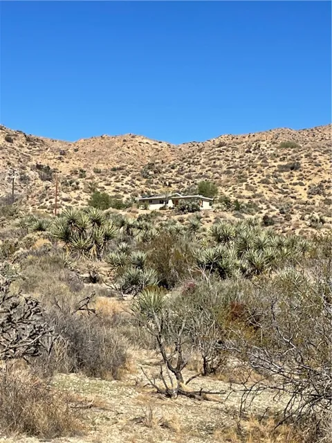
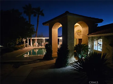
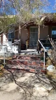
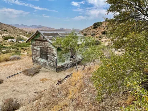
Morongo Valley's housing stock reflects its homesteading origins and its unincorporated, rural setting. Early settlement was spurred by federal programs such as the Small Tract Act of 1938, which offered small desert plots for cabins and modest development, and that legacy of spread-out, individual parcels still shapes the area today. Homes range from older desert cabins and modest ranch houses to newer single-family residences and larger lots with open desert around them. The community lacks the dense subdivision pattern of urban Southern California, and many properties offer space, views, and a degree of seclusion. Housing is generally more affordable than in the Coachella Valley below, making Morongo Valley an option for those seeking High Desert living with lower density.
Morongo Valley is a linear, unincorporated community stretched along State Route 62 rather than a town organized around a dense grid. Its homes and parcels are scattered across the desert landscape, with no formal incorporated subdivisions, reflecting decades of piecemeal homestead development. The community spreads across the valley floor where the highway passes between the San Bernardino Mountains and the open Mojave, with the Big Morongo Canyon Preserve anchoring its eastern edge. Residents live in a mix of older cabin neighborhoods and larger rural lots, often with wide spacing between neighbors. The result is a dispersed, quiet settlement pattern typical of the Morongo Basin's small desert communities rather than a conventional town center.
Life in Morongo Valley is quiet, spread-out, and tied to the natural landscape of the High Desert. The community has a rural, unincorporated feel, with residents drawn to the open space, dark night skies, and the dramatic scenery of the Morongo Basin. The Big Morongo Canyon Preserve is a defining presence, offering birding, walking, and a rare riparian oasis minutes from home, while Joshua Tree National Park lies within easy reach to the east. The town's commercial offerings are modest, with services concentrated along State Route 62 and fuller shopping in Yucca Valley or the Coachella Valley. For residents, Morongo Valley offers solitude, nature access, and a slower desert pace within commuting distance of the Palm Springs area.
Morongo Valley is served by the Morongo Unified School District, the public system for much of the Morongo Basin. The district operates 17 schools and educates students from Twentynine Palms, Yucca Valley, Morongo Valley, and the surrounding High Desert communities. Its campuses and programs are distributed across the basin, with elementary and secondary schools serving the area's scattered population. The district's scale reflects the wide geography it covers, and families in Morongo Valley rely on bus transportation to reach schools in nearby Yucca Valley and other basin communities. Higher-education options are available through Copper Mountain College in Joshua Tree and institutions in the Coachella Valley.
Morongo Valley sits along State Route 62, the Twentynine Palms Highway, the principal east-west route through the Morongo Basin. The highway runs west to the Interstate 10 interchange near Palm Springs, placing the Coachella Valley within roughly a 20-mile drive, and east through Yucca Valley, Joshua Tree, and Twentynine Palms. The community is fundamentally car-dependent, consistent with its rural High Desert setting, and the SR 62 corridor is essential for commuting, shopping, and access to the region's cities. The route also serves as the gateway to Joshua Tree National Park, making Morongo Valley a waypoint for travelers between the Palm Springs area and the park.
The Big Morongo Canyon Preserve is the centerpiece of outdoor life in Morongo Valley. This roughly 30,000-acre protected area protects one of the Mojave's largest riparian systems, where springs sustain marsh, willow, and cottonwood habitat that supports an exceptional concentration of birds, making it a major birding destination. Trails range from an accessible boardwalk to longer canyon routes, and the preserve's oasis setting offers a cool, green contrast to the surrounding desert. Beyond the preserve, Joshua Tree National Park lies a short drive to the east, and the broader Morongo Basin and San Bernardino Mountains provide hiking, rock climbing, and dark-sky stargazing. For residents, recreation is woven into the landscape itself, with open desert and mountain access immediately at hand.
MARKET SNAPSHOT
How homes have been selling here over the last 90 days.
Market data reflects closed sales over the last 90 days and is provided for informational purposes.
BROWSE BY ZIP
Browse listings by postal code in this area.