East Bay Enclave City
Welcome to San Pablo, a Contra Costa County enclave city in the East Bay, between Richmond and Pinole along San Pablo Avenue.
San Pablo is an enclave city in Contra Costa County, California, set within the East Bay region of the San Francisco Bay Area, between Richmond and Pinole. The 2020 census counted 32,127 residents. The city is fully surrounded by unincorporated county land and neighboring municipalities, a defining feature of its municipal geography, and it lies just inland from the San Pablo Bay shoreline along the Interstate 80 corridor. The city's name reaches back to the historic Rancho San Pablo, one of the earliest Spanish land grants in the East Bay, and the area's settlement history predates the modern suburbs around it. Through the 20th century, San Pablo grew as a working-class and immigrant community, building out its residential neighborhoods during the postwar housing boom and developing San Pablo Avenue into its commercial spine. Today San Pablo is a diverse, predominantly residential city. Its economy is tied to local retail and services along San Pablo Avenue, alongside substantial commuter flows into the larger Bay Area job market. The city is served by the West Contra Costa Unified School District, which also covers Richmond, El Cerrito, Pinole, and Hercules, and its transit connections — via WestCat and AC Transit buses to BART stations in nearby Richmond and El Cerrito — link residents to the region's employment centers. San Pablo's housing reflects its history as an East Bay entry point, with mid-century single-family homes, duplexes, and apartments offering some of the more accessible housing in the inner East Bay. Neighborhoods range from the quiet, established streets of Rollingwood to the more affordable Montalvin Manor area in the north. San Pablo suits first-time buyers, families, and working residents who want a central East Bay address with Bay Area-wide access at a lower price point than its neighbors. It appeals especially to those who value diversity, practicality, and proximity to the region's jobs and culture over newer or larger housing stock.
San Pablo is in Contra Costa County, California, in the East Bay region of the San Francisco Bay Area. It is an enclave city situated between Richmond and Pinole, near El Cerrito and Hercules.
San Pablo sits in the East Bay between Richmond and Pinole, just inland from the San Pablo Bay shoreline. Interstate 80 runs along its western side, with San Pablo Avenue as the city's main commercial spine.
San Pablo is served by the West Contra Costa Unified School District, which is based in Richmond and also covers El Cerrito, Pinole, Hercules, and several unincorporated East Bay communities.
Residents commute via Interstate 80 and San Pablo Avenue, with WestCat and AC Transit bus routes connecting to BART stations in nearby Richmond and El Cerrito for regional transit access across the Bay Area.
San Pablo's name comes from the historic Rancho San Pablo, an early Spanish land grant. Today the city is known for its diverse community and its accessible, central East Bay location.
City Guide
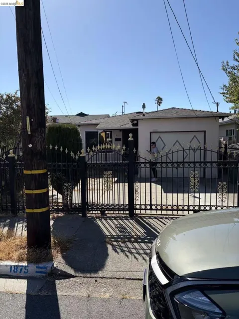
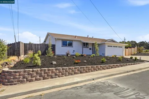
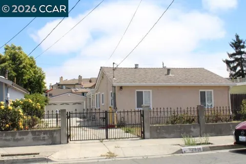
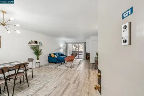
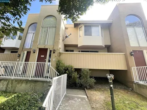
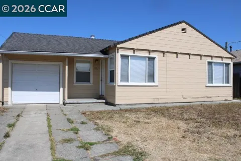
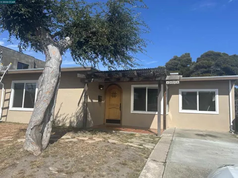
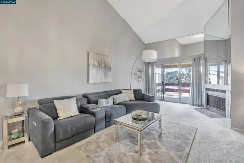
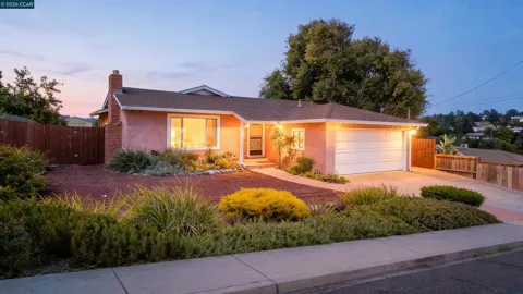
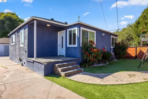
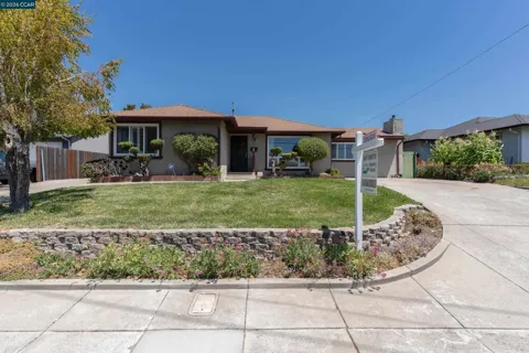
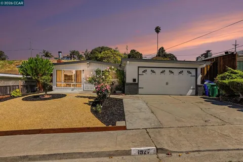
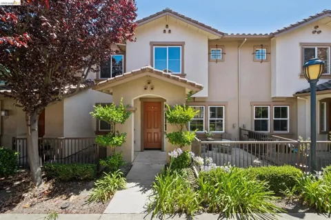
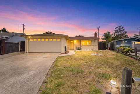
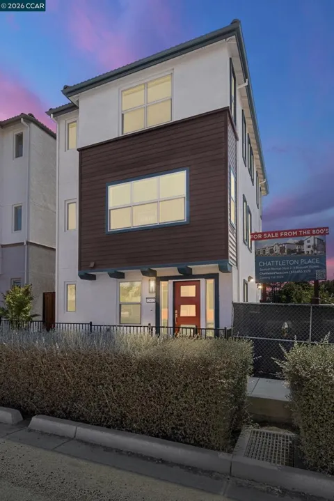
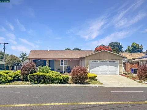
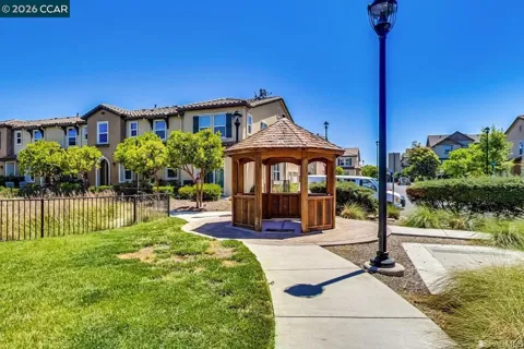
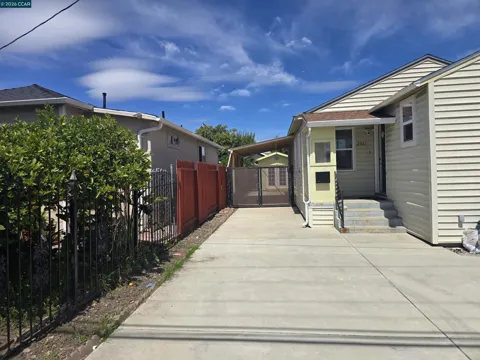
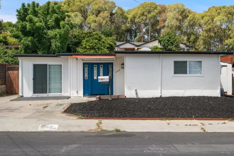
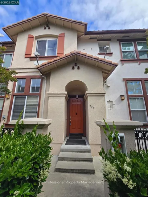
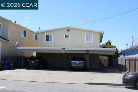
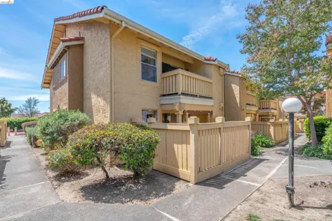
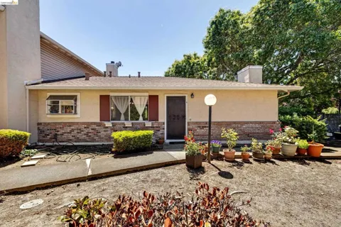
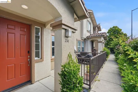
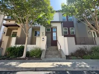
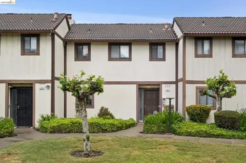
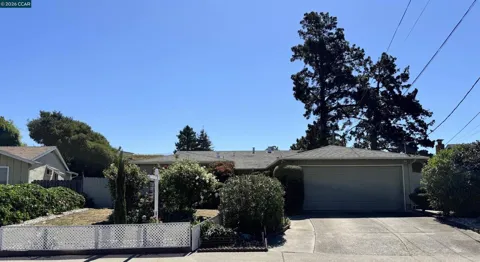
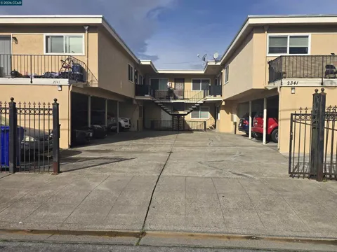
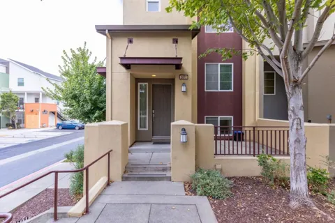
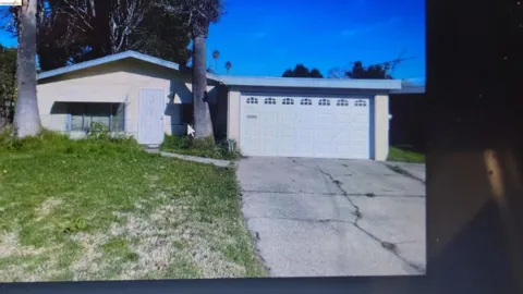
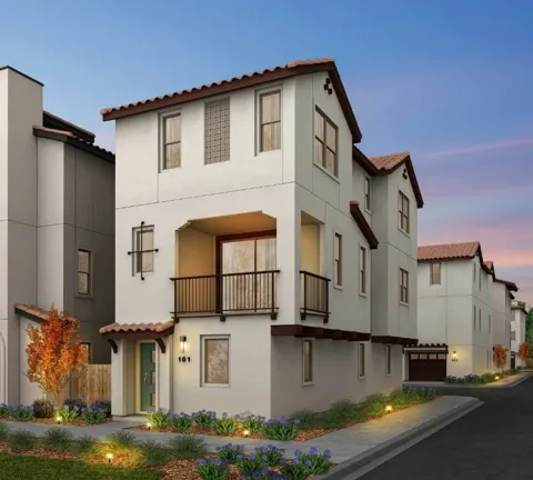
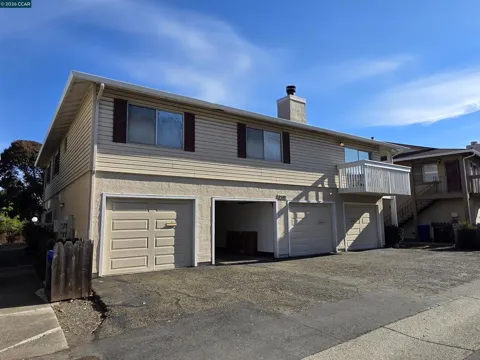
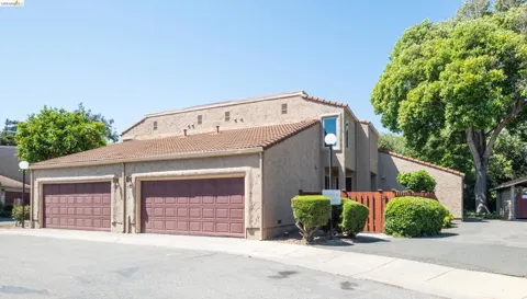
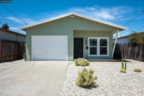
San Pablo's housing stock reflects its postwar growth, with a strong inventory of mid-century single-family homes, duplexes, and apartment buildings, much of it developed during the East Bay's suburban expansion. Homes tend to be modest and compact, and the city is known as one of the more accessible entry points into Bay Area homeownership relative to neighboring Richmond, El Cerrito, and Berkeley. Neighborhoods such as Rollingwood offer quiet, well-kept streets, while Montalvin Manor and other northern areas provide more affordable options. The city has also pursued affordable-housing strategies and redevelopment along the San Pablo Avenue corridor, keeping a mix of housing types available.
San Pablo's neighborhoods vary in character across the compact city. Rollingwood, in the southeastern section, is known for its quiet residential streets, well-maintained homes, and the Rollingwood Athletic Club with its swimming and tennis facilities. Montalvin Manor, to the north, offers more affordable housing options. The central city is organized around San Pablo Avenue, the main commercial corridor, with residential streets extending east and west toward the hills and the I-80 edge. This variety gives San Pablo a range of choices within a small area, from established single-family blocks to more budget-conscious pockets.
San Pablo offers a practical, community-oriented lifestyle at the heart of the East Bay. Its diverse, largely working-class population gives the city a down-to-earth character, with everyday life organized around San Pablo Avenue's shops, restaurants, and services. Residents value the city's accessibility within the Bay Area — Berkeley, Oakland, and San Francisco are all within commuting range via the I-80 corridor and connecting transit — along with a lower cost of entry than many nearby communities. Community life centers on schools, churches, and local parks, and the city's small footprint keeps most daily errands close at hand.
San Pablo is served by the West Contra Costa Unified School District, a large district headquartered in Richmond that also covers El Cerrito, Pinole, Hercules, and several unincorporated East Bay communities. Students attend district elementary, middle, and high schools based on neighborhood attendance zones, with a transfer and choice process available. The district operates a variety of magnet and specialized programs, and families have access to private and charter schools across the region. The city's location keeps school commutes short and connects students to the broader educational resources of the East Bay.
Interstate 80 runs along San Pablo's western edge, providing the city's primary freeway link to Richmond, Berkeley, Oakland, and San Francisco, while San Pablo Avenue serves as the main local commercial corridor running north-south. WestCat and AC Transit bus routes cross the city and connect to BART stations in nearby Richmond and El Cerrito, offering rail transit to the wider Bay Area. The city is also close to the Richmond-San Rafael Bridge and the East Bay's regional highway network. Commutes are generally car-oriented, with transit options making San Pablo a viable base for regional workers.
San Pablo's recreation combines local facilities with the East Bay's rich outdoor network. The Rollingwood Athletic Club offers swimming, tennis, and fitness amenities to the southeastern neighborhoods, while city parks provide playgrounds and open space across the community. Nearby Wildcat Canyon Regional Park and the East Bay Regional Park District trails bring hiking and nature access within minutes, and the San Pablo Bay shoreline offers waterfront views and walking areas. The city's central location also places residents within easy reach of the recreation and cultural attractions of Berkeley, Oakland, and San Francisco.
MARKET SNAPSHOT
How homes have been selling here over the last 90 days.
Market data reflects closed sales over the last 90 days and is provided for informational purposes.
BROWSE BY ZIP
Browse listings by postal code in this area.