Foothill Citrus City on Route 66
Welcome to Upland, a San Gabriel Mountain foothill city in the Inland Empire, where Euclid Avenue's citrus-era grand boulevard climbs toward Mount Baldy.
Upland is a city in San Bernardino County, California, at the base of the San Gabriel Mountains in the western Inland Empire, roughly 35 miles east of downtown Los Angeles. With about 79,000 residents, it anchors a foothill corridor bordered by Claremont to the west, Rancho Cucamonga to the east, and Ontario and Montclair to the south, with the unincorporated community of San Antonio Heights and the mountains rising to the north. The city's form was set in the late nineteenth century, when the Chaffey brothers laid out the area around Euclid Avenue, a grand, tree-lined boulevard that climbs from the valley toward Mount San Antonio — known locally as Mount Baldy — and remains the city's defining thoroughfare. Upland flourished as part of Southern California's citrus belt, and it incorporated in 1906. That heritage survives in the city's historic downtown, its well-kept older neighborhoods, and the annual Upland Lemon Festival, which celebrates the community's citrus origins. Modern Upland is a family-oriented suburb with a mix of historic homes, mid-century ranch houses, and newer developments, organized around its schools, parks, and the foothill trailheads that give residents quick access to the San Gabriels. The city's commercial corridors and downtown provide everyday services, while Claremont's colleges and dining and the broader Inland Empire's employment centers lie close at hand. Upland appeals to people seeking a foothill setting with character and history. Its position below Mount Baldy offers hiking and scenic recreation minutes from home, while its citrus-era streetscapes and established neighborhoods set it apart from newer, more uniform Inland Empire suburbs. Commuters use the region's freeway network to reach employment across Los Angeles, Orange, and San Bernardino counties.
Upland is in San Bernardino County, California, in the western Inland Empire, bordered by Claremont to the west, Rancho Cucamonga to the east, and Ontario and Montclair to the south.
Upland sits at the base of the San Gabriel Mountains. Mount San Antonio, known locally as Mount Baldy and the range's highest peak at 10,064 feet, lies about 9.5 miles north of the city's northern boundary.
Upland is served by the Upland Unified School District, a K-12 system with ten elementary schools, two junior high schools, and two high schools, one of which is a continuation campus serving the city.
Upland is known for its citrus-belt history, the grand, tree-lined Euclid Avenue laid out by the Chaffey brothers, its well-preserved historic downtown district, and the annual Upland Lemon Festival that celebrates the city's long citrus-growing heritage.
City Guide
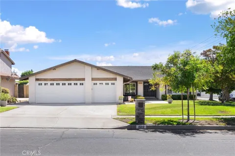
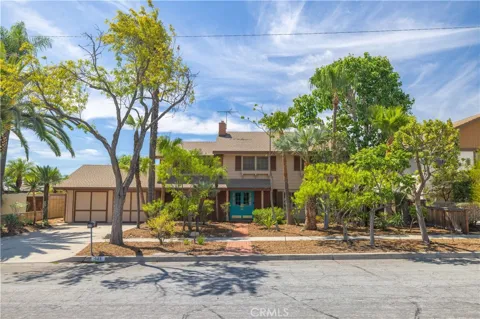
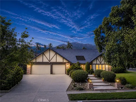
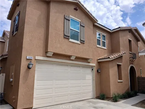
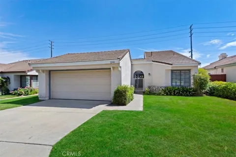
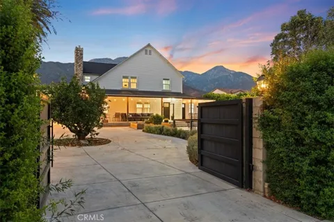
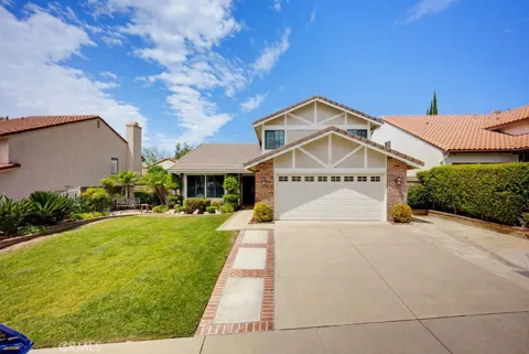
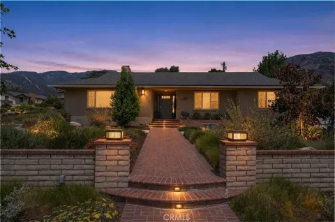
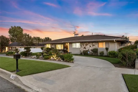
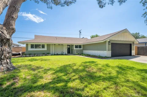
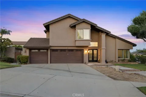
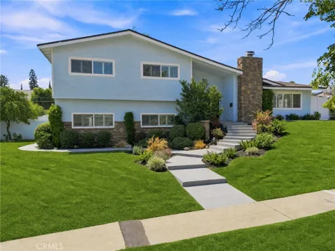
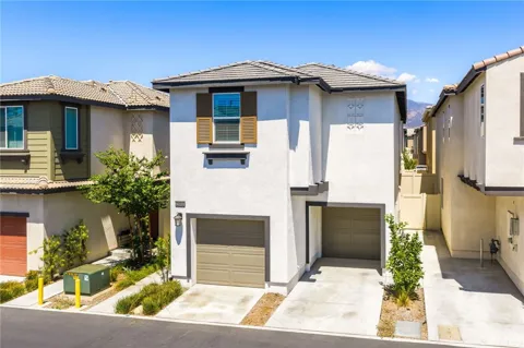
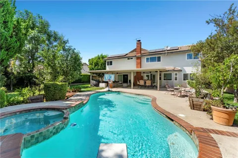
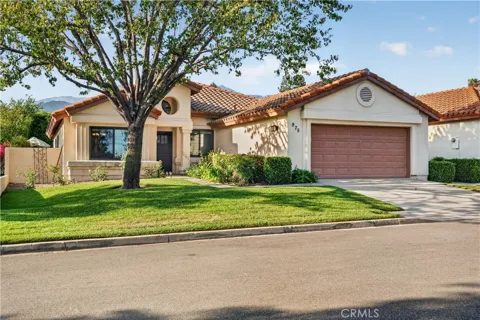
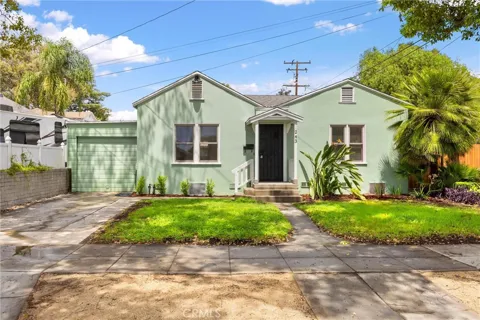
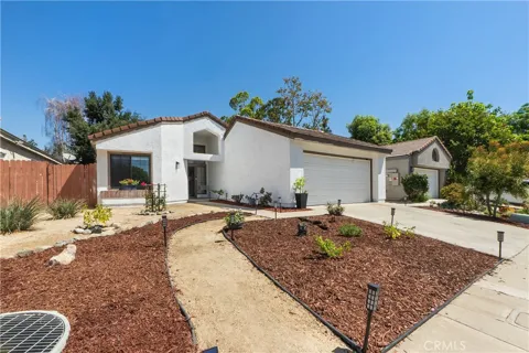
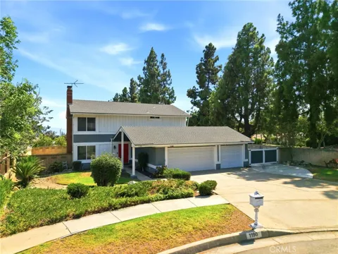
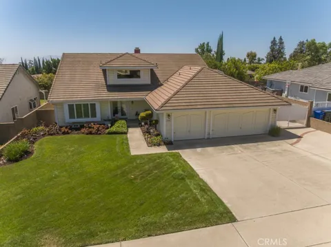
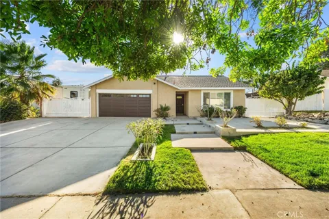
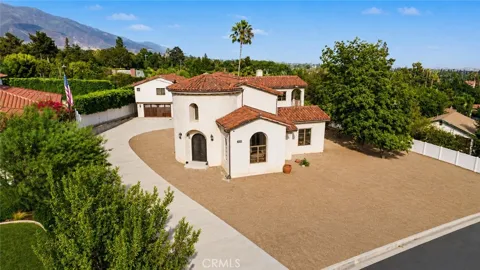
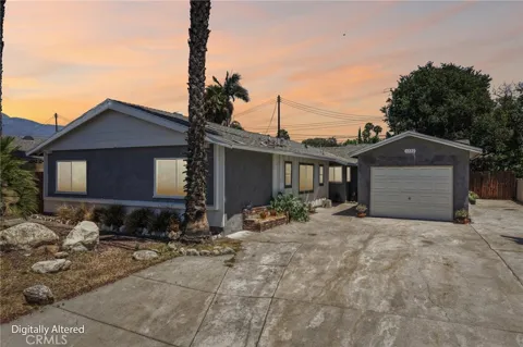
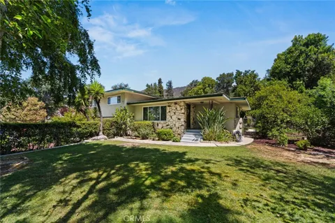
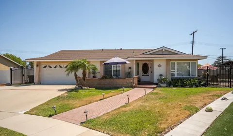
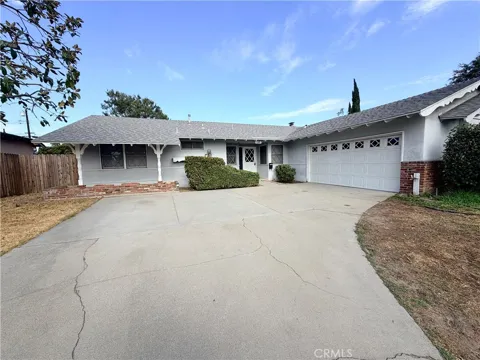
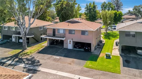
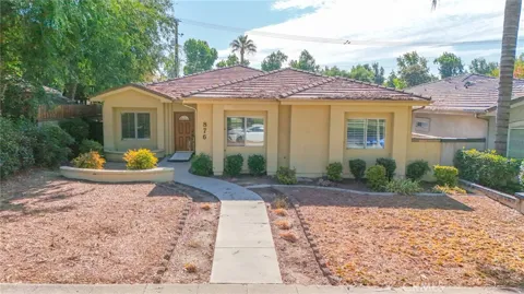
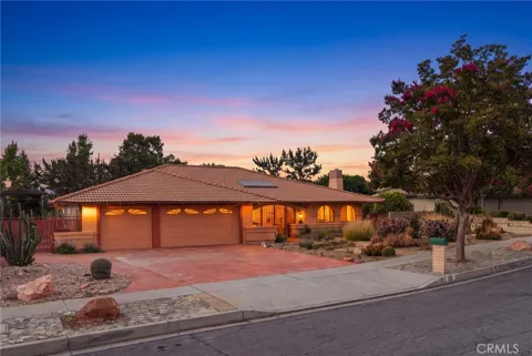
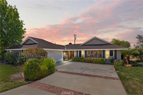
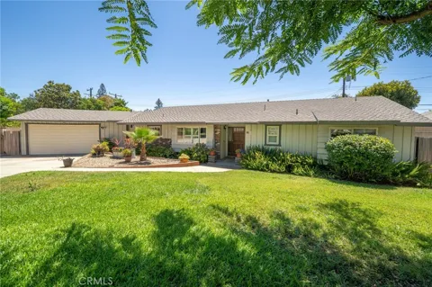
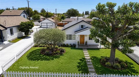
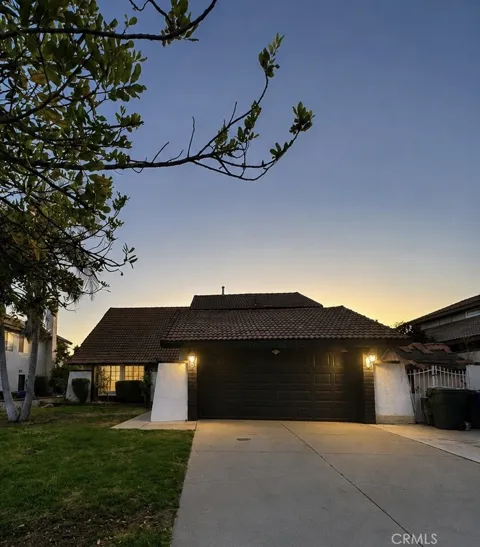
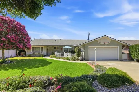
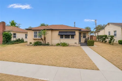
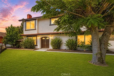
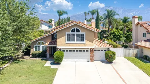
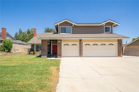
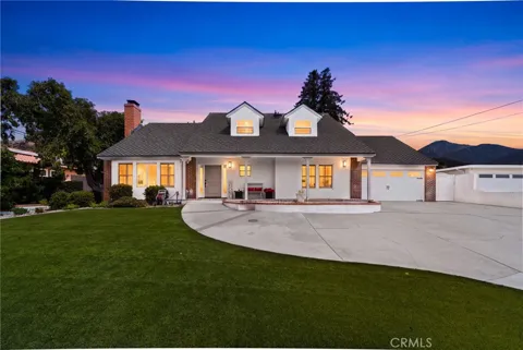
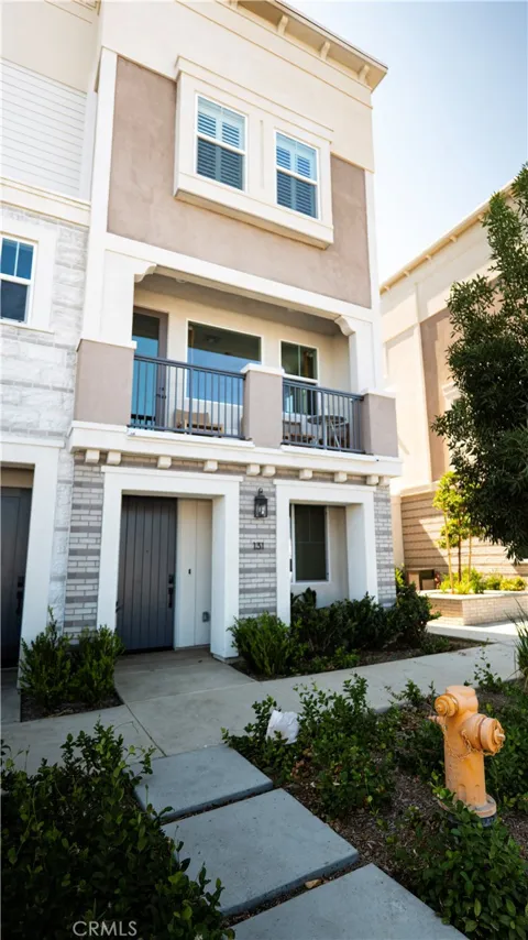
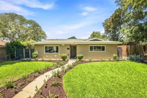
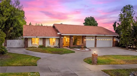
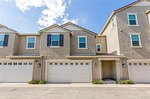
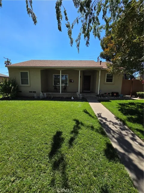
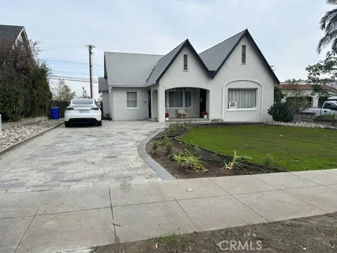
Upland's housing stock reflects more than a century of growth. The city retains well-maintained early twentieth-century homes from its citrus-belt era, spread across nine historic districts, alongside mid-century ranch houses and newer foothill developments. San Antonio Heights, immediately north, offers a semi-rural, mountain-close feel with larger lots and a quieter atmosphere. Lot sizes and architectural character vary by neighborhood, but the overall pattern is that of an established, tree-lined community with historic charm near its core and newer construction toward the foothills.
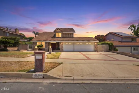
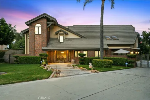
San Antonio Heights, an unincorporated community along Upland's northern edge, is the area's most distinctive foothill neighborhood, with spacious homes, tree-lined streets, and views of Mount Baldy. The historic downtown district along Euclid Avenue anchors the city with its early twentieth-century commercial buildings, while the nine recognized historic districts preserve clusters of older, well-kept residences. Elsewhere, established mid-century neighborhoods and newer foothill subdivisions fill out the city, giving Upland a mix of housing eras within a compact, mountain-framed geography.
Upland's lifestyle blends a foothill setting with citrus-era character. The historic downtown offers restaurants, shops, and community events, and the annual Upland Lemon Festival keeps the city's agricultural past alive with music, food competitions, and a town-wide celebration. Residents benefit from the adjacent unincorporated community of San Antonio Heights and the mountain trailheads just north, while neighboring Claremont contributes colleges, dining, and cultural venues. The result is an established, family-oriented community with more history and a stronger sense of place than many newer Inland Empire suburbs, set against the dramatic backdrop of the San Gabriels.
Upland is served by the Upland Unified School District, a K-12 system that operates ten elementary schools, two junior high schools, and two high schools, one of which is a continuation campus. The district serves roughly 11,000 students, all within the city, and emphasizes programs including dual-language immersion and STEM. Upland's schools are a central part of its family-oriented identity, with the elementary and junior high campuses distributed across neighborhoods and Upland High School serving as the district's comprehensive secondary anchor.
Upland's street pattern is defined by two historic corridors. Foothill Boulevard, the former Route 66 alignment, crosses through the center of the city, while Euclid Avenue (State Route 83) serves as the main north-south thoroughfare, running from the foothills south toward Chino and the Chino Valley. These routes connect to the Inland Empire's broader freeway network for regional commuting. Upland sits within the greater Los Angeles metropolitan transportation system, and most residents rely on a private vehicle for daily travel to work across Los Angeles, Orange, and San Bernardino counties.
Upland's recreation is anchored by the San Gabriel Mountains, which rise immediately north of the city. Mount Baldy and the surrounding Angeles National Forest offer hiking, scenic drives, and winter snow recreation within a short drive, while the foothill trails and bridle paths near Euclid Avenue provide closer-to-home options. The city's parks and the bridle path along historic Euclid Avenue recall its equestrian and citrus past, and the nearby Claremont and Inland Empire areas add regional sports and entertainment. For residents, the mountain backdrop is both a scenic constant and a year-round recreational resource.
MARKET SNAPSHOT
How homes have been selling here over the last 90 days.
Market data reflects closed sales over the last 90 days and is provided for informational purposes.
BROWSE BY ZIP
Browse listings by postal code in this area.